Aborted Flight
For today's flight we headed south and then east across the ice cap to the eastern shore. Unfortunately, cloud cover on the east side kept us from getting views of the spectacular SE coast.
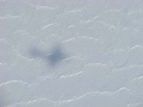
 Our faithful companion.
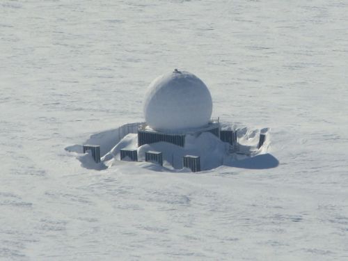
We did fly over one on the abandoned DEW (Distant Early Warning) radars. These remote facilities, built in the late 1950's, acted as a radar "fence" should the Soviets attempt to engage us from the north. I rather wonder what life would have been like back then in such a remote outpost. It is also a convenient location for collecting survey data and thus we needed to fly over it. This site's name is Dye 3.
 The abandoned Dye 3 DEW site, now used as a convenient survey marker.
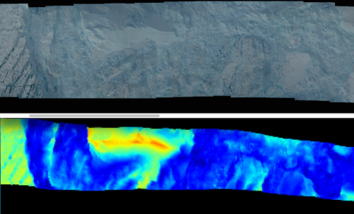
Clouds prevented us from collecting data along the immediate coast The only glimpse we had of a calving front occurred at Helheim Glacier. Fortunately the weather cooperated as we flew over that one. The crew spent some time stitching together our downward pointing DMS digital photos. I'm also included colorized lidar (laser) data that goes along with it. A photo taken from straight above does not allow the viewer any sense of vertical relief. But the lidar data does. I did my best to scale the two so they align perfectly. Since the scale is not included let me give it to you. The darkest blues represent 50 m elevation, the pale turquoise is at 80 m, and the orange is at about 115 m. So the iceberg in front of the calving face is about 115-50 = 65 m tall, about 215 feet!
 The calving front of Helheim Glacier is on the right. A huge iceberg is in front of it. The colors (from our laser data) allow you to determine relative heights. For a sense of scale horizontally, the picture spans about 1.4 miles.
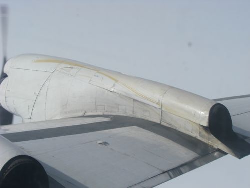
Finally, we had to cut our trip short today. An oil cap seal was leaking on engine #4. Once the oil started heading toward the hot exhaust outlet the crew decided that it was time to go. Other than the small potential of catching fire - not much really - this issue is the functional equivalent of pulling out of a gas station and forgetting to put your fuel cap back on. You'd feel better having it on, but nothing is really affected by it. Same thing here (until, of course, the oil pressure drops too low, but we weren't close on that front).
 Oil leak on engine #4. You can clearly see it streaming over the engine cowling. You know something is going on when your pilots and mechanics each walk back and look out the window at the engine. At first I naively thought they were looking at the view...
At this point we had finished most of the mission anyway, so we didn't miss too much data.


Comments