Peggy's Weather Report from Hallet Lake Camp:
Time: 11:20 am Temperature: 16.6 C or 62.4 F Humidity: 61.0% Wind: 1.8 km/hr from South Clouds: Cumulus Cloud Cover: 25% scattered Light level: off scale (above 2000 X 10 Lux) We were finally flying to Hallet Lake! Since the Webinar (see 8/1/07 journal entry) was to be at 6 am our time and 9 am San Antonio time, and Jerry, our pilot, was planning to pick us up at 7:30 or 8 am, Heidi volunteered to fix us cornmeal pancakes and blueberries and coffee for breakfast at 5 am. We packed up again except tents and gear was ready to go before the presentation started. So, using two satellite phones in the tent we called to present from field to the conference. Sat phones have a tendency to cut out more than cell phones do, and we had that problem. If I was talking and mine went out, Caleb would hand me his, and if his went out while he was talking, then I would hand him mine. We would get the other phone connected while waiting to talk. Anyway, we discussed the research project, described what we have been doing, followed by answering questions, all in forty-five minutes. It’s a strange feeling talking to a conference from a tent by an isolated lake.
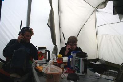
As soon as the conference call was over we finished pancakes and coffee, really enjoying the blueberries we’d picked. We cleaned up and headed out to the shore to be picked up by Jerry. This time he came, landed, and we loaded half the gear along with Chris and I. Caleb and Heidi were to follow on the next trip. Chris and I set up the kitchen tent and our tents, then came down to put the boat together as the others flew in. Busy morning!
Hallet Lake:
Latitude: 61.49299 N
Longitude: 146.24396 W
Elevation: 1129 m
By 11:30 am we were out on the lake searching for the buoy like at Greyling Lake, using GPS coordinates and the two pole and chain system. We circled again and again. No luck, so we came in for lunch.
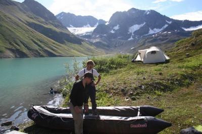
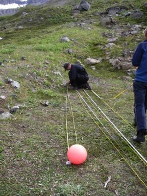
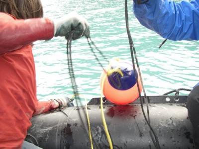
We set out again in the afternoon. With replenished energy we set back out to the task. This time a new strategy was devised. Weights were attached to the chains just below where they connected to the poles, so the chain would be straight across underwater like a "U” not a "V”, making a wider swath through the water. This gave more catch area. It worked. The buoy was captured and we brought the two sediment traps and temperature loggers to shore for processing for shipment.
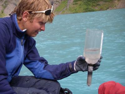
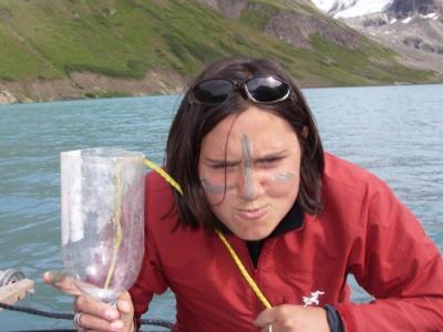
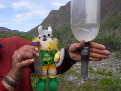
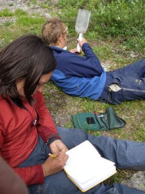
We went out again to deploy a new buoy with sediment traps. We were done with most of the work on the first day. Tomorrow we would have time for a hike…
* *

