Change of Plans
Click the Media tab to see a YouTube video of our day!
We were supposed to fly about 500-mile "grid west" of here to service two Automatic Weather Stations called Gill and Margaret. But, we were scrubbed for our Twin Otter flight due to bad weather at the destination. It looked like today was going to be filled with testing and preparing for going to the South Pole in a few days instead of an exciting flight. But, our fortunes changes and we were informed that we were moved up on the helicopter schedule! That means that we got to fly about "Grid West" about 50 nautical miles (knots) from here. (Knots are similar to miles but miles are measured on a flat surface and knots account for the curvature of the Earth, so knots are slightly longer than miles.) We went to AWS Laurie II that is at 77˚ 26'20" S/ 170˚ 45' 00" E. (When you read DMS coordinates, it is read as "77 degrees, 26 minutes and 20 seconds South, 170 degrees, 45 minutes and 0 seconds East.) And that means... A helicopter ride!
Helicopter Ride!
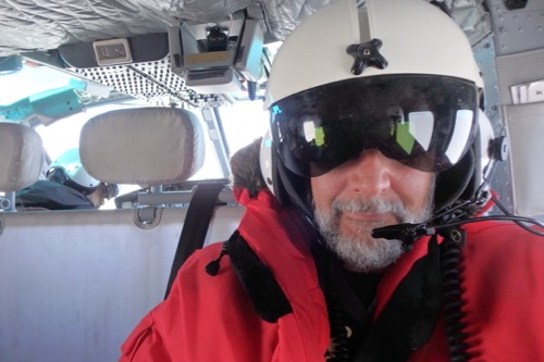 PolarTREC teacher Mike Penn in Bell 212 Helicopter flight helmet.
This trip is on a "Bell 212" which is a civilian version of what we used to call a "Huey" in the Army.
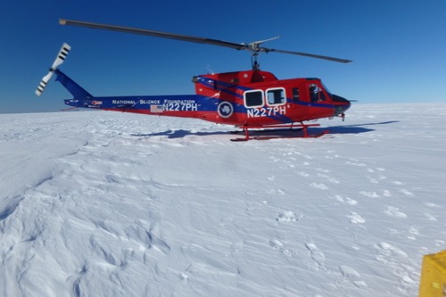 Bell 212 takes the AWS team to Laurie II AWS for servicing.
There is another type of helicopter flown down here that we probably won't be using (because they can't carry as much) called AS-350-B2s Astars. It was about a 45-minute flight to our location. We flew past Mt. Erebus (an active volcano) on our way to the destination.
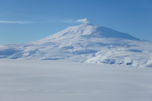 Smoke can be seen being emitted from Mt. Erebus, an active volcano in Antarctica.
For every flight, we carry one survival bag for every two people, so we had three, for the four of us on our team and one for the pilot and co-pilot. They left two of the survival bags with us.
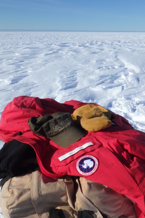 Survival bags are always left with field teams.
It was a strange feeling watching the helicopter leave us out there all alone. When they left, we were dozens of miles from the nearest humans!
We had work to do.
 The device in the yellow box is an extremely accurate GPS unit. It is being used to pinpoint the location of AWS Laurie II in Antarctica.
We "raised" the tower by adding a tower section to the top of the tower (it is about 4 feet deeper in the snow than it was when it was last serviced) and raising all of the equipment.
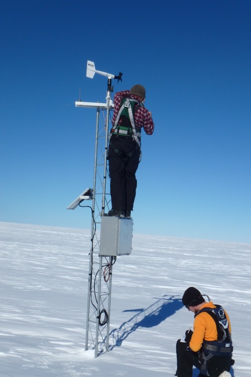 Lee Wellhouse servicing AWS Laurie II in Antarctica.
We each took turns climbing the tower in order to attach all of the instruments and sensors.
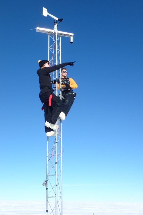 AWS team raises tower on Laurie II AWS in Antarctica.
Several hours later we were finished! We called the helicopter and they were able to come and get us! That meant we get to sleep in a warm bed tonight!
Stay tuned for more!


Comments
Add new comment