Science Overview and Field Season Objectives
I worked with Dave Marchant’s team in 2008 studying debris-covered glaciers in the Dry Valleys. During that sampling season, the team drilled and collected ice cores for age dating analysis. Those who followed the expedition might recall that in debris covered glaciers, the glacier is not exposed at the surface, but exists as buried ice. Dave studies buried ice deposits for two major reasons:
Buried ice may contain an ancient archive of Earth's past atmospheric conditions and provide a climate record extending back for many millions of years.
The cold-polar desert of the Dry Valleys is one of the most Mars-like climatic environments and landscapes on Earth, serving as a proxy for very ancient ice. buried on Mars and providing insight into Martian history and the potential for life on Mars.
This sampling season Dave will be studying surface processes which play a critical role in maintaining and/or modifying buried glacier ice. The team objective for this season is to examine the surface processes to determine the presence, movement, and extent of buried glacial ice in several areas of the Dry Valleys using Ground Penetrating Radar, LiDAR (Light Detection and Ranging) and surface mapping techniques.
After a few weather delays I left McMurdo by helicopter to join Dave Marchant in the Dry Valleys. The field plan for the day is to stop at the field camp in Central Beacon Valley, pick up Dave and team, and take a day trip to a feature called the Dais located within a larger feature known as the Labyrinth (see map below). At the end of the day, we will return to the field camp in Central Beacon Valley.
Can Massive Flooding Trigger Climate Change?
 Locations of the Labyrinth and Dais are indicated by the white arrows on the map.
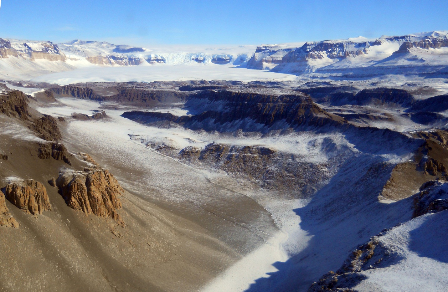
The Labyrinth is an approximately 50 km-long (30 mi) network of bedrock channels and scoured terrain that emerge from beneath Wright Glacier at the margin of the East Antarctic Ice Sheet. The Dais is an elongated mesa located at the distal end of the Labyrinth in the western part of Wright Valley. The Labyrinth is a significant feature to study and may provide clues to what triggered a climate change and pushed Antarctica into the deep freeze climate that it is today.
 Overview of the Labyrinth.
The Labyrinth is believed to have been formed by erosion associated with episodic and catastrophic release of subglacial meltwater (buried lakes) beneath the East Antarctica ice sheet. By studying the surface and erosion features, Dave is testing the hypothesis that the discharge of large volumes of subglacial meltwater to the Southern Ocean, and to the Ross Sea in particular, may have coincided with, and contributed to regional and/or large-scale climate change during the middle Miocene (14.4-12.2 million years ago).
 Overview map showing location of Southern Ocean (bottom left) and Ross Sea (bottom center).
How could this episodic flooding impact climate? The influx of such a large amount of fresh water may have altered the local ocean salinity. This is turn could inhibit, or reduce, the formation of polar deep water masses and possibly lead to a breakdown, or weakening of the thermohaline circulation pattern and contribute to climate change. Read more about the Labyrinth here ,Lewis et al, paper on the origin of the Labyrinth.
Central Beacon Valley Deep Field Camp
After the day trip to the Dais, we returned to the campsite in central Beacon Valley (see map below). Deep field camps have minimal impact on the environment. Water is collected from nearby snow banks and there are no showers or amenities. We do have a tent for cooking and a generator to power equipment. In 2008 my students were amazed that I survived the deep field and my current students are amazed that I am returning for more!
 The star marks the location of the second campsite in Central Beacon Valley.
 Photograph of campsite 2 in central Beacon Valley, Antarctica.
Stay tuned for the next journal and see why central Beacon Valley rocks!

