Another day in Kangerlussuaq and another great hike. This time, Eric Wagner and I set out on our hike in the late morning. We were gone for 3+ hours and covered about 9 miles. Kangerlussuaq is a fairly small town. Once you cross the river, you quickly get into the wide open part of Greenland.
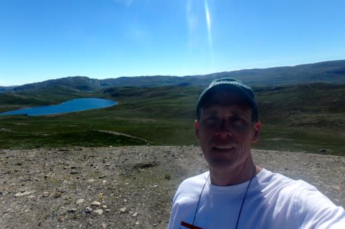 PolarTREC teacher Steve Kirsche is shown with one of the many lakes that dot the landscape near Kangerlussuaq.
Our hike took us out to a place called Tacan which is the location of the radar for the airport. It offers some pretty spectacular views of the surrounding landscape. There are many lakes located around. We had hoped to see some wildlife, but for the second day in a row, we ended up seeing nothing more than birds and mosquitoes.
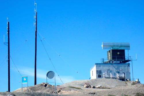 This radar station sits atop Tacan to serve the Kangerlussuaq Airport.
Once we got to the top of Tacan, we decided to keep going. So, we followed what seemed like a path for a bit. We eventually decided that we should head back. It was great getting some fresh air and exercise while seeing a bit more of the beauty that surrounds us. From the top of Tacan, you could see the edge of the ice sheet, which makes you realize just how little of Greenland is actually habitable.
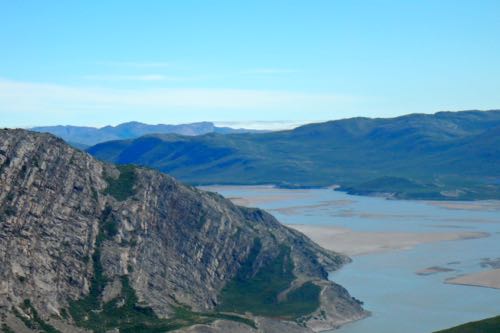 The river near Kangerlussuaq is seen in the foreground. In the background (near the middle of the photo), the edge of the Greenland ice sheet can be seen.
This evening, we took a walk around town to enjoy the weather. We wandered down near the fjord where there is a facility that raises dogs for pulling dog sleds. These dogs have very thick coats and are made to do well in this environment!
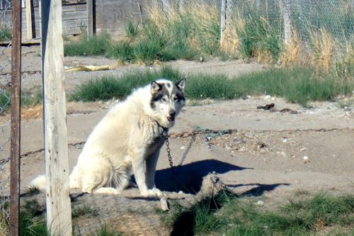 These beautiful dogs are bred and trained for pulling dogsleds.
Other Science in Greenland
A few days ago, I mentioned a team of researchers that arrived at Summit Station while we were there. The team consisted of a professor, a mountaineer (to provide guidance), and three grad students. This team spent 6 weeks this summer traversing a portion of Greenland. This was actually the second year that they did this. After two years, they have completed the data collection for their project.
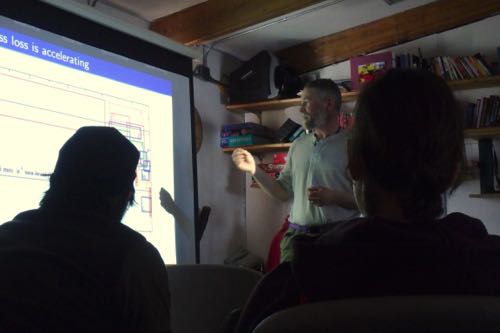 Dartmouth Professor Bob Hawley gives a science talk to the residents of Summit Station to explain the purpose of the Greentracs project.
Their program was called Greentracs, which stands for Greenland Traverse for Accumulation and Collection Study. The team was out of Dartmouth College and they stopped at various places along their route to drill shallow ice core samples, take readings in snow pits, and utilize ground penetrating radar to see the layers of snow underground.
The purpose of this study was to get good data about how much snow is accumulating. There are many models that scientists use to determine the rate of snow/ice loss in Greenland. But, models are far from perfect and the different models vary significantly. By collecting direct evidence, the researchers are hoping to allow researchers to tweak their models and make them more accurate. The overall objective is to improve calculations of how fast the Greenland Ice Sheet is melting today from warming temperatures, and how fast it is likely to melt in the future. You can read more about this project through their blog at: http://greentracs.blogspot.com
Videos from Summit Station
Today's video from Summit Station shows how you can make a snowman in the Arctic. The snow up there doesn't pack together due to the low humidity, so you have to improvise.


Comments
Add new comment