We’re flying! OK, not at the moment, but we’ve been flying the past 2 days! I can attempt to describe the process; however, I think pictures will do the most justice in this case.
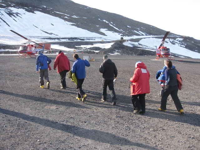 The team headed out to the heli of our first day of flying, Nov. 18. Photo credit: Brandon Gillette
We begin our flying days with two helicopters and an hour and thirty minute ride out to the Roadend fuel cache Kristin and I visited nearly a week ago. Here we load up as much equipment as can fit into the heli while the pilot and heli tech are refueling. Then it’s another 15-40 minutes to our landing sites, depending on our targets. One team has spent the last two days installing year-round rock sites. The sites help to act as a control against which to measure the movement of the GPS units we place on the glacier. The other team (my team) spent their time installing 16 GPS units at various places up and down the glacier. The more units we can install, the more expansive our network will be, leading to more accurate results at the conclusion of the project.
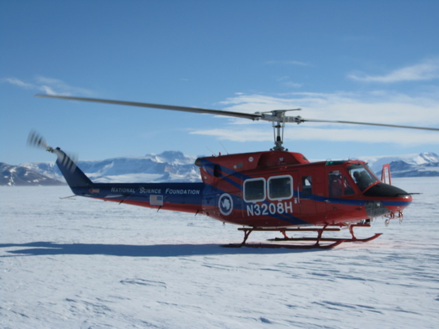 Team Alpha lands at the Roadend equipment and fuel cache site on day 1, Nov. 18. Photo credit: Brandon Gillette
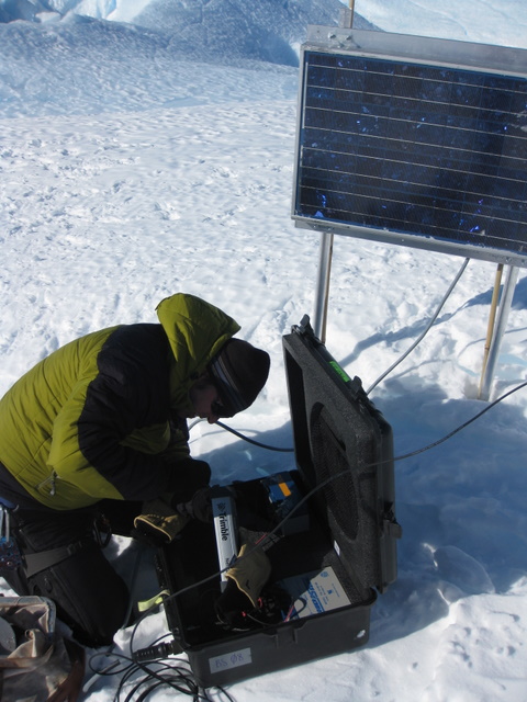 Gordon completes the wiring of our first GPS unit. Photo credit: Brandon Gillette
The rock sites consist of a large steel frame, 2, 80-watt solar panels, a wind turbine and a Hardigg case containing all of the electronics and 10 of the large 70 lb. batteries! The summer ice sites consist of a 40-watt solar panel mounted to two poles, with a third pole holding the antenna. There is a small Pelican case which houses the electronics and two small batteries. There are the sites we will be retrieving in February. A third type of site is the winter-over ice sites which we have yet to install. They are a cross between the summer ice sites and the rock sites. They consist of a large steel frame as well, 3, 50 watt solar panels and the compliment of 10, 70 lb. batteries.
The heli flights are very long and we’ve had some very long days, but the views have been worth every second of it! We are walking in places where no one else has ever walked before. A few have seen it from the mountain peaks that overlook the glacier, and some have flown over the sites. Ice peaks rise tens of feet over our heads with blue ice crevasses just a few feet in either direction. Wind has formed deep cracks in the ice and arches leading from one peak to the next. It is like no other landscape in the world!
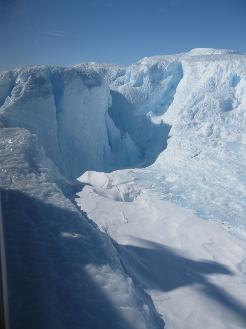 A view from our first landing site on The Byrd. These ice walls were as high as 40+ feet. Photo credit: Brandon Gillette
After being bumped from the heli schedule today, we are back on the schedule for Monday and Tuesday of next week to hopefully get our deployment portion of this project wrapped up.
If you are curious of all the locations we have placed or will be placing observing stations, check out the *.kmz file I’ve attached with this blog entry.
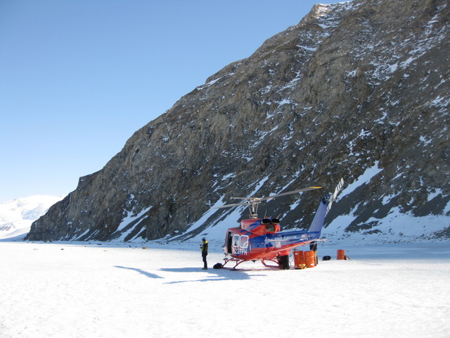 Team Bravo waits for the other helicopter to deliver more equipment and fuel at the base of Horney Bluff. Photo credit: Brandon Gillette
