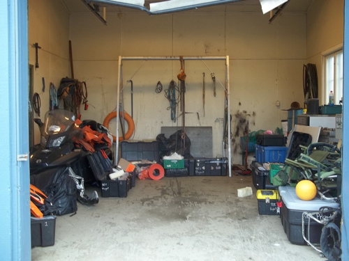
The last two days have been "epic," a term used to describe times full of action, adventure, and more often than not powder for the skiers out there, mud for the sedimentologists. I am in fact writing this on the 15th in the interest of full disclosure but will keep the journals separate for posting. Geologists really like to archive things accurately in their chronologies and I will not buck the trend. To greet you today I've included a picture of our garage workspace that we meet in each morning before heading out on our excursions…these random pictures have to go somewhere!
 Our workspace and gear storage at Isfjord Radio.
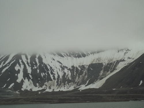
Saturday was spent completing the last of the geologic field tours with a trip up to Kongressvaten, a small lake perched up amongst the higher elevations surrounding Lake Linne. The goal was to see the final member of the karst system and finish honing our eye on glacial landforms. The glacial features of Svalbard are not always as easy to pick out as those found in areas such as Maine because for one reason the ice that covered many currently deglaciated areas was cold-based rather than warm-based. Warm ice? Another geologist trick? First global warming then this? Well, the difference between cold based glaciers and warm based lies in the fact that warm based glacier reach their pressure melting point at the bottom of the ice. That is, they ride on a thin film of meltwater and scrape along the landscape vastly eroding the substrate. This works in the same way that all of your pressure on an ice skate allows you to glide over ice. Cold based ice on the other hand is permanently frozen to the bedrock beneath it and it only flows due to internal deformation (imagine how you pour pancake batter onto a griddle, no flipping involved here though). Accordingly, cold based ice does not have nearly the erosive power of a warm based glacier so the landforms associated it are much more subtle. You often have to pick your way through areas that appear to have way more water oriented erosion than they should and determine that the huge gullies were formed from meltwater of a now distant glacier. In many cases the most striking feature of these glaciated areas is the last major advance that occurred during a time called the Little Ice Age (LIA), lasting loosely from ~1350-1850 and even more so in Svalbard to 1936. The LIA margin is usually well defined with many sediments being deposited at the terminus of the glacier's last hurrah, called a terminal moraine. In the picture below you can see the old LIA moraine ridge from a former cirque glacier that occupied a bowl shaped area next to Lake Linne.
 Cirque next to Linne with the Little Ice Age moraine ridge showing the last max. extent of ice.
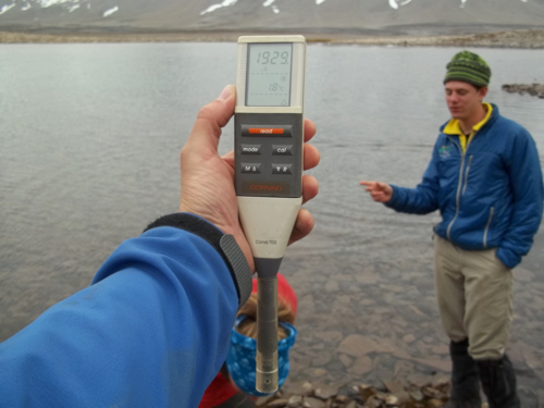
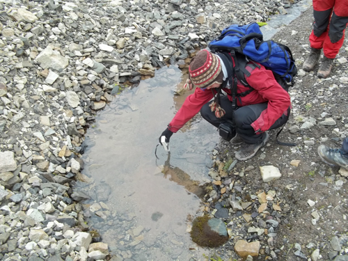
To get up to Kongressvaten we shuttled everyone by boat to the north shore of Linne. From there we parked as close as we could to the shore and walked past the northern 1/10 of the lake which still had broken ice rattling and washing about in the waves. The sound of the ice was like a million little wind chimes only far more enjoyable and less tacky (this column just got opinionated!). Some measurements we took along the way included conductivity at many different locations in an effort trace water sources throughout the entire lake, glacier, and karst system of the Linne valley. A liquid's conductivity is simply a measure of how well the liquid can conduct electricity based on the quantity of dissolved ions that are in the water (think electrolytes). Turns our Lake Linne has a very low conductivity (160-302 microsiemens) but some mysterious spring that came out of the bedrock in the valley walls were somewhere around ~1950 microsiemens!
 The conductivity probe with John in the background...
 Dagmar measuring the spring conductivity...
Spoiler alert! Well, the high conductivity springs we later learned were derived from Kongressvaten waters traveling a great distance through the bedrock and popping out to Lake Linne. The conductivities matched perfectly! In the video I've uploaded (internet willing) you can see the waters boiling up as little artesian springs because the elevated Kongressvaten waters have hydraulic head pushing down on them from the higher elevation making them spring out from the ground in the valley below. These springs actually run all year long contributing waters to the low elevations that turn into massive ice forms in the winter.
http://
.be
The day ended looking at the interesting fossils and forms in the carbonate limestone bedrock and watching the clouds the clouds move out for a beautiful view of Isfjord. "Just another Saturday night and I ain't got no dry socks…"
 The view just got nicer with clear weather moving in.
