Things at Isfjord Radio, Linnevatnet (Lake Linne which I've used interchangeably and without warning), Linnebreen (our glacier), and the karst system are really starting to take form. Students in both the REU and UNIS AG212 course have taken the reigns of their projects and individualized groups are hitting the field each morning with their own purpose and direction. The last few days I have been teamed up with Helena and Dion working on their projects that focus most squarely on the lake member of the environmental system we're analyzing. In that time we've developed some rhythm, a keen interest in overcoming a few obstacles that have met us, and Helena is bound and determined to find an appropriate team name (H-D squared was suggested and not from the resident math teacher oddly enough).
After going over our data from yesterday's troll casts, Helena determined the best possible locations to deploy temporary sediment trap moorings. It is our hope that these moorings will capture enough sediments transported to the lake (and our funnel tubes) from shoreline sites that have soluflucted soils (soils which flow slowly downward within the active layer on top of the permafrost) acting as major contributors. While it is unlikely that these shoreline sites contribute the vast majority of the sedimentary record, we may be able to pinpoint and quantify their contributions especially at times where the record cannot be explained by the inflow from the glacial meltwater or the nival melt. Such possible events include times in which wave reworking of the shoreline soils is in place or possible mass wasting slump-events. Accordingly, we worked to connect 13 traps to rock anchors and buoys for deployment.
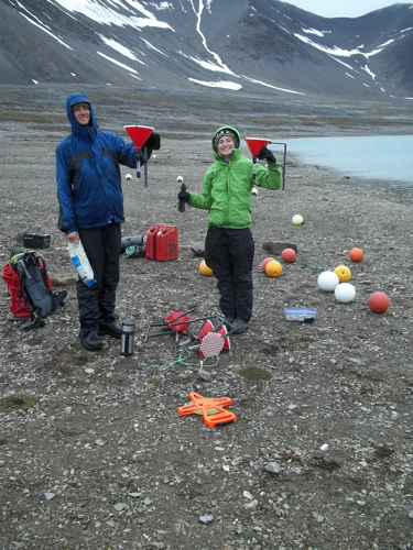 With temporary sediment traps ready it was time to hit the water.
The moorings were set to be placed at varying intervals and depths from the shoreline as a means of noting how much and how far the sediments travel. This also gave us plenty of chances to hone our deployment techniques which I will expand on in the following paragraphs.
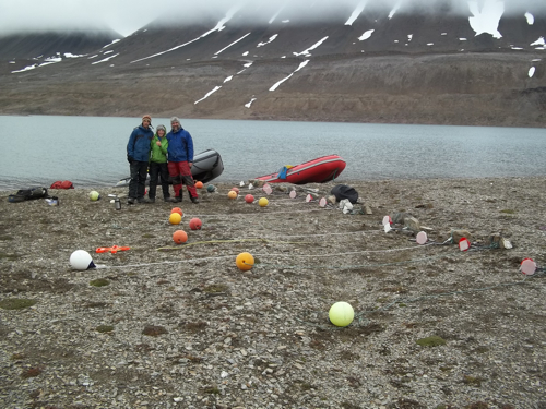 The moorings laid out on the beach in preparation with Dion, Helena, and Steve.
For the first moorings Steve joined us on the boat as he'd worked with us to get the traps ready and things went fairly well to start. Helena had excellent notes on the trap locations and we were able to scoot across the lake and sink our first few about 10 cm below the surface to avoid too much working or movement by wave action.
 Helena's Field Notes for Buoy Deployment.
Then, we ran into a bit of trouble. What I haven't mentioned is that today we actually did have a minor case of the Mondays. The morning start got off a bit late, it rained consistently all day with wind, a few items were forgotten with scrambles by students back to the barracks...little things that got us running a bit late and some a bit confused. The two most important things for a group expedition of 15 to have in times like this are patience and a good sense of humor (the latter we have in spades…or not depending on your view of the journal thus far). In arctic field seasons folks have a tendency to forget or not care which day it is but it is sure nice at the end of the day to say "don't worry, it was a Monday."
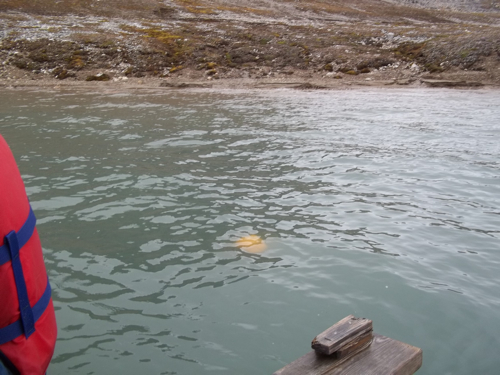 This is what a proper mooring should look like...mainly underwater yet visible.
So, our case of 'the Mondays' started when we noticed that our mooring buoys would seem like they were just a bit too high floating near the shore and then we'd move them inches outward and they'd want to plummet to the lake depths. On one mooring the line let go from the boat and it went spiraling downward but we were able to recover it through our advanced trolling techniques. On two others…we were less successful. It appears that the slope of the subsurface topography either drops away very, very quickly or it is comprised of boulders and mud making the mooring anchor spots quite unstable. This was especially noted when Dion, Helena, and I set one of the mooring perfectly in place…for two seconds…then watched it slowly slide downward out of site as we scrambled futilely in the boat. In all reality, none of the mornings are lost and they are actually probably gathering sediment just like we hope. The only problem is that the buoys are invisible under 2-3 meters of turbid water. For more perspective, the moorings are only maybe 20-30 meters off shore in all these locations and easily findable given the addition of some bathymetric gear, a longer chain, and H-D squared plus Mike (I think the name is going to need refinement, sorry Helena).
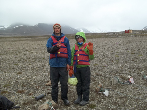 Well, we got three out of five as shown by Dion (3) and Helena (out of 5). Dour faces...but not defeated.
So, with time running out to finish our work we got 3 out of 5 traps successfully deployed and then it was time to head to the beach to organize gear and re-think our plan of attack for tomorrow. It looks like we'll get the rest of our traps in, go fishing for our elusive undersea buoys, and then hopefully get some more data from the troll apparatus on temperature, conductivity, and turbidity near the solufluction sites. The field day finished with me dropping off Helena and Dion at the northern boat park and then picking up the AG212 students at their beach, finished with another day of karst work and pit digging through stratigraphy toward the permafrost. Below you'll find a few pictures that are appropriate ends to a Monday in the field. Catch you on Tuesday...
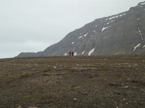 Hanna and Elin making their way down to the boat park for the evening pickup...
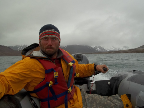 Must make it to northern boat park on time to pick up AG212 students!
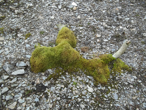 An old reindeer antler I found on the beach covered in moss. You can often find antlers or whale bones on the tundra by the moss covering them, fueled by nutrients slowly leaching out...
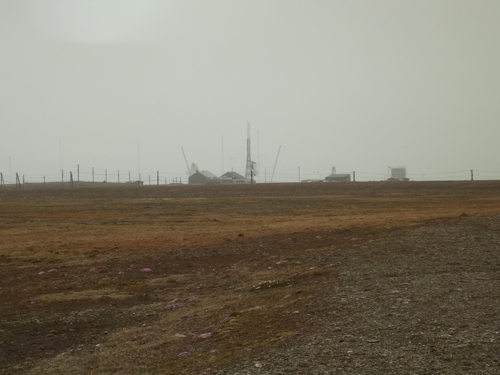 A foggy view of Isfjord Radio to end the day. These types of days are the ones you must remind yourself to continue to be observant for bears as it is easy to get in the zone trudging along under your raincoat...
