Alaska by Air
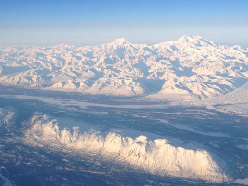
When I flew across Alaska for the first time I was simply stunned. I had strategically chosen a seat on the left side of the plane just in case the weather was good. We took off from Anchorage headed to Fairbanks at 10am and the weather was fantastic. I sat there glued to the window watching this vast, rugged, and changing landscape just waiting for my first glimpse of Denali National Park and Mt. McKinley - the highest point in North America (20,320 ft). I didn't know what to expect because all the pictures I had ever seen where of the park in the summer - not winter. It was a winter wonderland of snow capped peaks, flowing glaciers, and braided rivers.
 Denali National Park photo by Sian Proctor
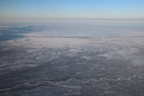
Then the landscape suddenly changed and it was flat. The mountains were replaced by the central uplands and the Yukon drainage basin. From the plane window the land appeared to stretch forever into the western horizon.
 The Central Uplands of the Yukon Drainage Basin photo by Sian Proctor
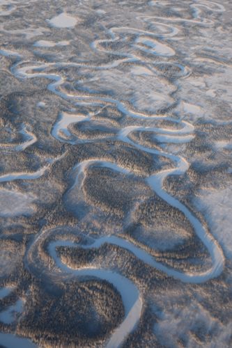
 Wild Alaskan Rivers photo by Sian Proctor
Then it changed again as we descended into Fairbanks. I've been told that the best way to see Alaska is from the air. Now I understand why. Getting the birds-eye view gives you that feeling of awe, wonder, and appreciation for those who have traversed this amazing and extreme landscape by foot.


Comments