One of the best things about the South Pole is that everyone is willing to help out anywhere. From volunteering to wash dishes to stocking shelves in the store, people are more than willing to step in to help when needed.
U.S. Antarctic Program Surveyor, Ray Eshelman had hurt his back during a long day at work and his partner, Christian San Martin, had no one to go out and survey with. So I stepped in to help.
Christian and I hopped into the PistenBully, a small vehicle with tractor-like wheels, and loaded up the back with survey tools. Christian maneuvered the PistenBully out of the busy work space behind the station and we headed across the tarmac to the dark sector. Christian let the PistenBully open up to full speed at a whopping 30 mph. It was still a pretty bumpy ride over the groomed ice to reach the survey spot.
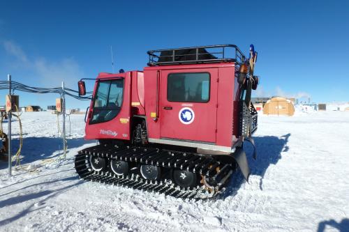 The PistenBully vehicle that transports people across the ice.
The first place we stopped was located about 2 kilometers from the station and it is the site that has been calculated to be the location of the geographic South Pole in 1911, the year that Roald Amundsen first made it to the bottom of the world. It is calculated that the ice shifts the marker for the geographic South Pole about 32.9 feet per year.
 Survey spot where the geographic South Pole would have been located in 1911, the same year that Amundsen first made it to the South Pole.
"Hand me the legs," Christian called out as we jumped out of the PistenBully. In survey terms, "the legs" make up the tripod that holds up the GPS unit placed directly over the survey marker. This GPS unit is remotely connected to a rover which communicates with about 27 different satellites to precisely measure the location of the marker.
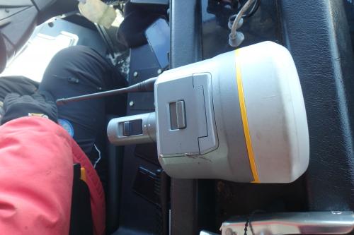 The rover that connects to the GPS unit.
After finishing the set up at this survey site, we continued further into the dark sector to reach the IceCube Laboratory. This building used to be known as the "L dorm" and housed many researchers during a summer when the station was full. This now serves as the science laboratory for the IceCube Neutrino Observatory.
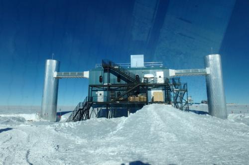 IceCube Laboratory.
Now Christian and I had to flag out the location of the lines for the new scintillators that will be deployed for IceCube. In a very similar fashion to our previous survey technique, Christian used a pole with the rover mounted on top and placed it in the ice in various locations and the GPS locator would notify him which direction to move the pole until it was exactly on the location marked on the map.
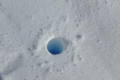 The hole where a marker will be placed for the survey.
I then took a bamboo stick flag and placed it in the hole to mark the final location. We continued to do this every 100 feet to stake out a clear line for the trenchers to dig. It's amazing to look back and see how straight the line of flags turned out to be!
This was also the farthest I had travelled from the station. I got to see some beautiful scenery and it was quite refreshing to have the opportunity to take a ride out past "civilization". It felt a lot like we were driving on another planet.
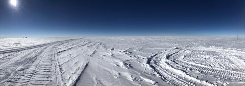 Nothing beyond the dark sector.
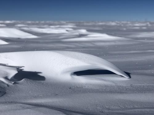 The wind elegantly moves snow across the ice sheet and creates beautiful snow sculptures that look like waves.
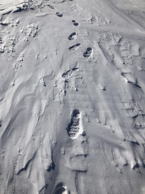 Making footprints out here feels like you're on a different planet.
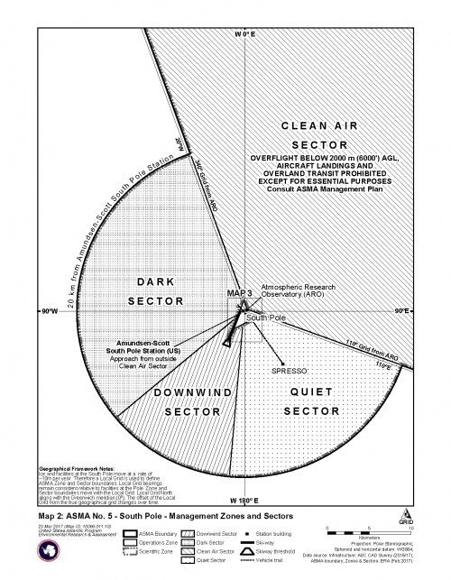 Map surrounding the South Pole station.

Comments
Add new comment