- Speed
- 10.4 knots (kts)
- Course
- 33.8°
- Location
- Chukchi Sea north of Bering Strait off Cape Lisburne
- Depth
- 44 meters
SPECIAL FEATURE DISCUSSION:
(see yesterday's journal for the questions.)
The continental shelf between the US and Russia was dry land during the last ice age because sea level drops as water gets stored on land in the form of glacial ice. Normally water evaporated out of oceans that precipitates on land finds its way back to the oceans as runoff.
The Bering Strait separates the Bering Sea to the south from the Chukchi Sea to the north.
TODAY'S JOURNAL:
There are many imaginary lines drawn on the the Earth by map-makers such as latitude and longitude lines, the equator, the prime meridian, etc. We crossed over two such significant lines yesterday evening. The first noteworthy passage was through the Bering Strait, which separates the Bering Sea on the Pacific Ocean side from the Chukchi Sea on the Arctic Ocean side. Russia and the US are quite close together here, with the mainland of each being only around 44 nautical miles (~82 kilometers) apart. There are two islands in the middle of the strait known as Big & Little Diomede Island. Little Diomede is on the US side of the border while Big Diomede is on the Russian side. They are only separated by less than 2 nautical miles (or about 3.5 km.) Fog prevented us from seeing any land as we transited the strait.
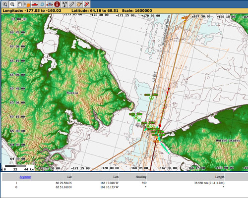 Screen capture of our navigation chart showing the Bering Strait region.
Adding to the excitement were two Minke Whales seen from the bridge as we passed through the Bering Strait. These are the smallest of the baleen whales (as opposed to toothed whales.) This family of whales feed by filtering massive volumes of water through baleen plates along their jaws, leaving their prey items behind like macaroni noodles in a colander. They then use their tongues to scrape the food off their baleen and voila! Mealtime!! According to the American Cetacean Society, Minke Whales in the northern hemisphere feed primarily on small schooling fish (their southern hemisphere counterparts eat mainly krill.) One of the two Minkes put on a show for us, breaching (leaping out of the water) 4 times. Justin, one of our Marine Mammal Observers (or MMO for short) said that Humpback and Minke Whales are the two species most likely to exhibit this behavior. I wonder if they are just playing or if their leaps serve another role?
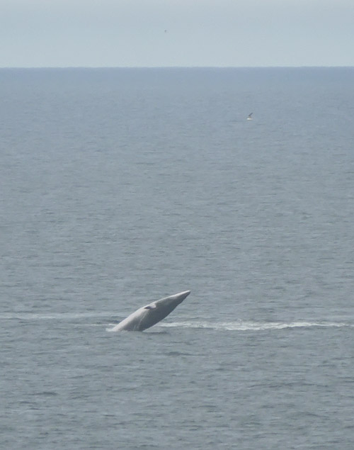 A Minke Whale breaching off the starboard bow in the Bering Strait.
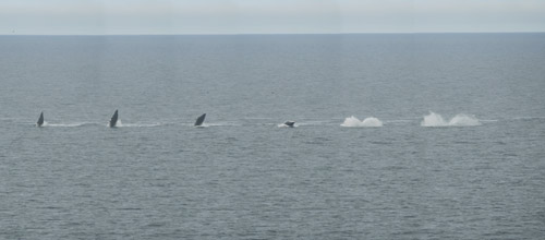 A composite shot of the Minke Whale we saw breaching in the Bering Strait.
The other significant line we crossed yesterday evening was the Arctic Circle- whoo hoo!! So now we are in the Arctic Ocean and in the Arctic Region by any definition you may care to use. The Arctic Circle lies 60° 33' 44" north of the Equator (or 66.562° north latitude.) On and above this line there is at least one day of the year when the Sun doesn't set, and at least one day of the year when the Sun doesn't rise. By amazing luck, we sailed out of the fog just before crossing the Arctic Circle and had blue skies and blue water for the special transit. It was stunningly beautiful, and I'm thrilled that I was able to take it all in from up on the bridge almost 70 feet above the water.
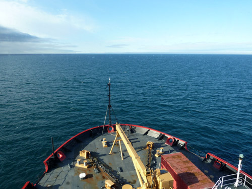 We crossed the Arctic Circle in blue water and under blue skies. A nice break from fog and gray water!
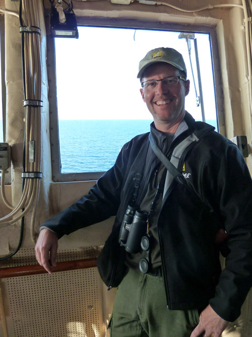 Bill Schmoker on the bridge of the USCG Cutter Healy as we crossed the Arctic Circle into the Chukchi Sea.
SPECIAL FEATURE:
On what day of the year does the Sun never set along the Arctic Circle? On what day of the year does the Sun never rise along the Arctic Circle?
That's all for now! Best- Bill

