Journal Entry
Photo Blog of the road up to Toolik!
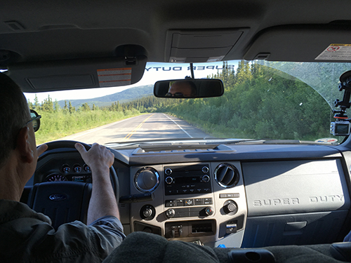 Dr. George Kling driving the truck to Toolik. Photo by DJ Kast
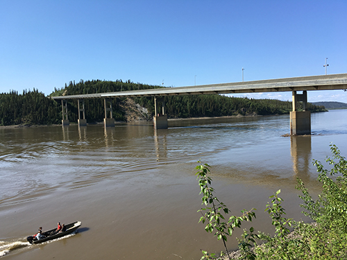 Yukon River Stop.
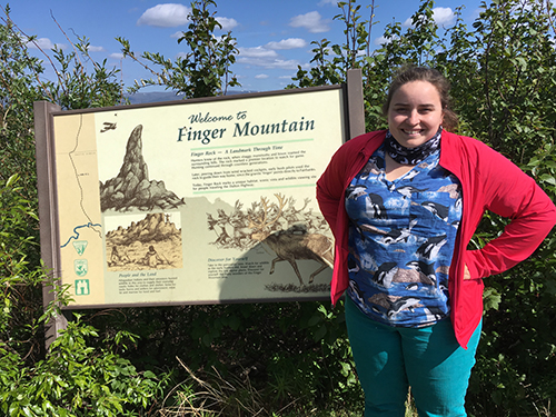 Finger Mountain information sign. Photo by DJ Kast
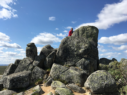 Cool rock structure! Photo by DJ Kast
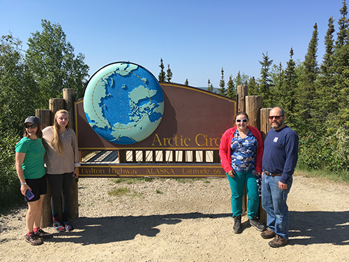 Most of the research group in front the Arctic Circle sign. Photo by DJ Kast
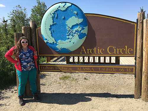 The famous Arctic Circle sign! Im so excited to be exploring and researching the Arctic. Photo by DJ Kast
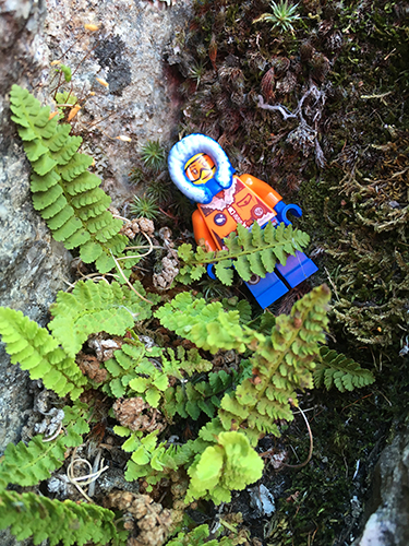 Fern between rocks with Arctic Lego explorer rock. Photo by DJ Kast
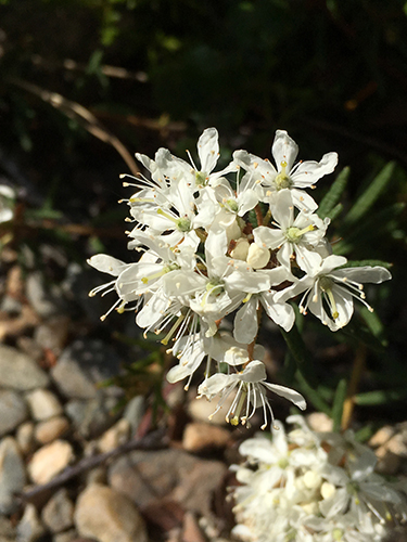 Labrador Tea flower. Photo by DJ Kast
 Sukakpak Mountain, at the southern side of the Brooks Range. Photo by DJ Kast
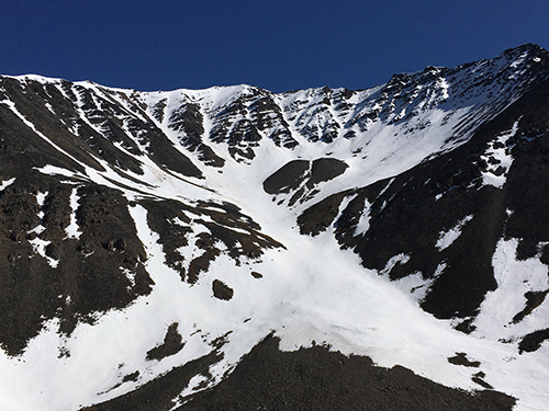 Cool Snowy mountain. Photo by DJ Kast
 Toolik Lake Panorama. Photo by DJ Kast
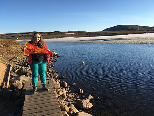 Spouting the USC flag in front of Toolik Lake. Photo by DJ Kast
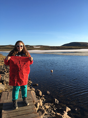 Toolik lake behind me while showing off Mrs. Campos' Polar poster. Photo by DJ Kast
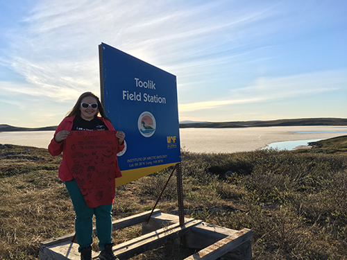 Welcome to Toolik. Mrs. Campos' fourth grade class' polar flag from Vermont Elementary. Photo by DJ Kast
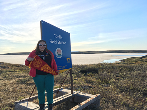 Toolik Sign with USC flag! Photo by DJ Kast
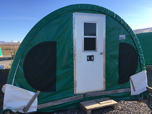 My tent at Toolik. Photo by DJ Kast
Today, June 16th, 2016 Dr. George Kling, Dr. Byron Crump, Dr. Kim Bernard, Johanne Albrigtsen and myself drove up to Toolik from Fairbanks. It only took 10 hours! See my photo blog below!
 Dr. George Kling driving the truck to Toolik. Photo by DJ Kast
 Yukon River Stop.
 Finger Mountain information sign. Photo by DJ Kast
 Cool rock structure! Photo by DJ Kast
 Most of the research group in front the Arctic Circle sign. Photo by DJ Kast
 The famous Arctic Circle sign! Im so excited to be exploring and researching the Arctic. Photo by DJ Kast
 Fern between rocks with Arctic Lego explorer rock. Photo by DJ Kast
 Labrador Tea flower. Photo by DJ Kast
 Sukakpak Mountain, at the southern side of the Brooks Range. Photo by DJ Kast
 Cool Snowy mountain. Photo by DJ Kast
 Toolik Lake Panorama. Photo by DJ Kast
 Spouting the USC flag in front of Toolik Lake. Photo by DJ Kast
 Toolik lake behind me while showing off Mrs. Campos' Polar poster. Photo by DJ Kast
 Welcome to Toolik. Mrs. Campos' fourth grade class' polar flag from Vermont Elementary. Photo by DJ Kast
 Toolik Sign with USC flag! Photo by DJ Kast
 My tent at Toolik. Photo by DJ Kast

Comments