One of the other ways I am connecting with my classes and for broader outreach is through cloud observations with the GLOBE Program. GLOBE stands for Global Learning and Observations to Benefit the Environment and is an international program designed to help students and the broader public understand and use the scientific method, as well as to participate in data collection in a variety of topics. Check them out at at their website.
GLOBE was developed in 1994 on Earth Day, and the program has expanded tremendously. It is supported by NASA, as well as by NOAA (National Oceanic and Atmospheric Association), the US Department of State and the National Science Foundation - all the "big-wigs." I participated in an earlier version of GLOBE (early 2000s?!?) that looked at land cover and I remember being very excited about receiving a printed satellite photo of West Leyden High School in Northlake, IL - yes, I am that old to remember having photos developed. Fast forward, and Google Maps provides better detail and higher resolution that was (almost) unimaginable back then. Now, data collection is done by internet and by app. It's amazing.
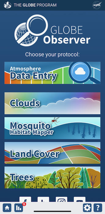
 The GLOBE Observer App Interface. There are many opportunities (in addition to clouds) for students to collect data.
Elena Sparrow, Education Outreach Director for the International Arctic Research Center (IARC) and Alaska GLOBE Partnership Director, connected me with the GLOBE program and facilitated training for atmospheric study and clouds. The training modules are well-developed and allow teachers and students to learn about concepts and quickly be brought up to speed in order to take more accurate observations.
 GLOBE Training Module on Atmosphere. Showing students why their data matters for 'real science' is critical.
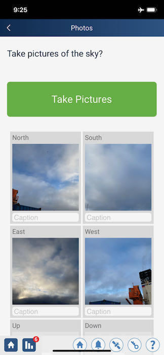
Several times a day, I get phone notifications about satellites passing over our area or about solar noon, which is the time of day the sun is highest in the sky. (This cruise has once again reinforced how relative our concept of time actually is. Solar noon occurred at 6:29 am today but at 8:14 am yesterday. It is light in the middle of the night and dark in the evening). Whenever I can, I go out on deck and use the Cloud Wizard - a step-by-step guide to cloud identification - and then I take pictures. Some are more varied than others.
 Cloud photos taken from the Laptev Sea and uploaded to GLOBE.
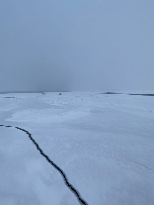
Other days, this is all I've seen.
 Typical Arctic scene. Low clouds and fog while the ship was breaking the ice.
Once I get a strong enough internet connection, I will try to upload all of my observations, which will then get posted on a global map. I saw my data from Kirkenes. I am anxious to see how it looks from the Arctic Ocean.


Add new comment