Today’s Journal
Today I drove 357 miles on the Dalton Highway, named after James W. Dalton and also called the Haul Road, from Fairbanks to Toolik Field Station. The road is mostly gravel with bits of pavement here and there. Our trusty steed is pictured below, which is part of the University of Alaska-Fairbanks (UAF) fleet of vehicles, runs up and back to the field station. The truck was packed to the gills with equipment for the station and the research teams.
 Our trusty steed for the drive
So where exactly is Toolik Field Station? The map below shows the location of the field station.
 The Dalton Highway Map
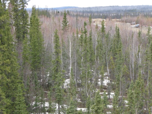
I was relieved to be traveling with an experienced driver, Seth, who is the naturalist at Toolik. Seth monitors bird counts and phenology (I’m going to let my students look this one up) and spends almost five month at Toolik. Our journey took just under 9 hours and gave me a great look at the transition from Sub-Alpine forests to the Arctic tundra. The forests consist of mostly Birch, Aspen and Black Spruce. The Aspen and Birch have not leafed out yet, so they look rather bare as you can see in the photo below.
 The Sub-Alpine Forest
 Melissa at the Arctic Circle
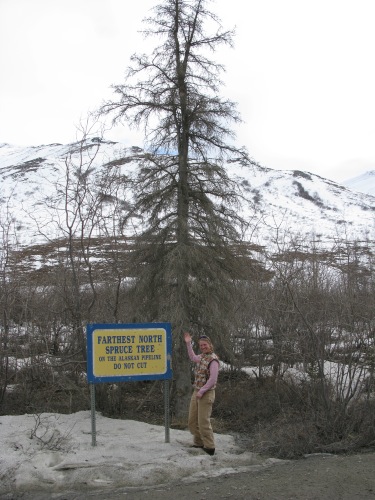
As we neared the Brooks Range, the trees grew smaller and smaller until finally we met the last spruce tree.
 Don't cut this tree (someone actually took an axe to the bottom of the tree)
Our travels included many exciting wildlife sightings too. We saw ptarmigan, caribou, Rough Legged Hawk, Northern Harrier, Harlan Hawk and a Grizzly Bear! The bear was rooting at the side of the road and ran off pretty quickly, but I saw the distinctive shoulder hump.
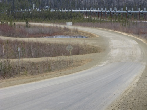
 A typical view on the Dalton Highway
Question to Ponder
What is phenology and why would it be important to study up here at Toolik?
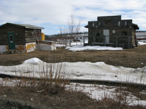
The town of Coldfoot is the last gas stop before the Arctic Ocean, so we stopped for gas. The photo below shows the “town”. How did the town of Coldfoot get its name?
 Town of Coldfoot. The last gas stop before the Arctic Ocean.
