It looks like we have a few days until Miss Piggy gets back to us and we can get on some science flights, so today we did the next best thing. There is a Danish military station at 81.7° N latitude called Station Nord which houses science teams who study the Greenland Ice Sheet directly. (Edit: as this posts we actually have just a few hours until our NOAA P3 arrives). Experiments involving atmospheric chemistry, biology, ice dynamics and more are running constantly at this station. Up to twenty scientists live here during the summer and six Danish soldiers live and work here all year long. Because of its remote location there are a lot of logistics involved in keeping the station supplied with enough water, food, and fuel as well as staying safe from polar bears who make their home in northern Greenland. Each year the Danish Royal Air Force carries tanks of fuel from Thule to Station Nord to provide them with enough energy for the next year. They are currently in the middle of this operation and invited us to come along for a ride and take a look at what is happening at Station Nord.
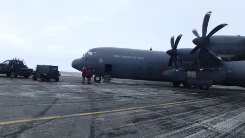 Thanks to the Royal Danish Air Force for the great experience.
Getting There
The fuel is carried in a tank via a C-130 Hercules cargo plane. We sat in mesh folding seats on the interior of the plane next to the dominating fuel tank for a two hour flight to Station Nord, which is the second northern most settlement in the world! Well, part of the flight was spent in those mesh folding chairs.
 The C-130 from the cabin.
 Spent two hours flying next to this tank, used to supply Station Nord with fuel to function for the next year.
But during take-off, when we were flying over an enormous glacier, and upon landing I got a bird's eye view from the cockpit. No view will be better (until we're flying over similar landscapes at 1500 feet rather than 26,000 ft)!
Takeoff Scene
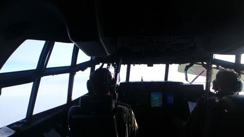 Bird's Eye View from the C-130
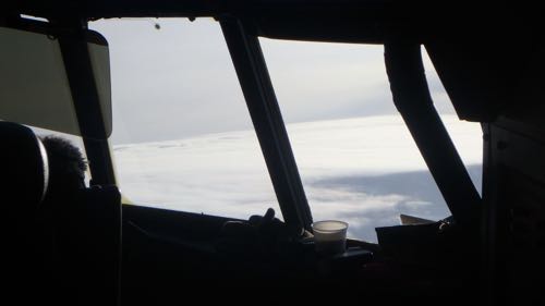 Take-off from the cockpit
Over Glaciers
According to our 25 year veteran pilot of the Danish Air Force, this view never gets old.
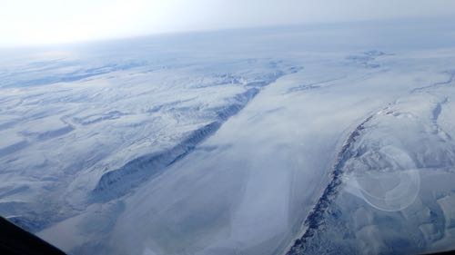 Flying over glaciers
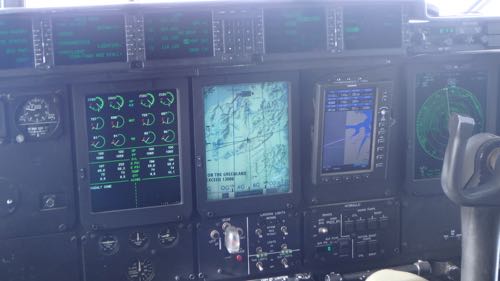 GPS View of Glacier as we fly directly above.
Landing
Can you see the red guiding lines on the runway? To avoid contaminating the environment of Station Nord, those lines are painted with beet juice.
 The Station Nord Landing Strip Uses Beet Dye to Avoid Contamination of the Environment.
Station Nord
Station Nord, as I mentioned is the second northernmost settlement in the world at about 81° N. It is its own world with many different field research buildings, fuel storage tanks, water storage tanks, and even a souvenir shop and it houses six year-round personnel and up to 20 scientists over the course of the year.
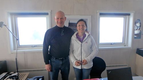 Nord Science Team
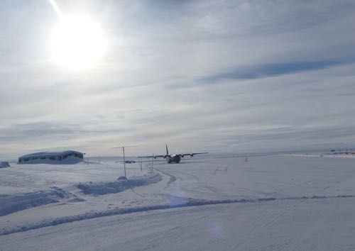 C-130 ready to head back to Thule from Station Nord.
Leaving
Did you think leaving would be an ordinary task? We are in the high Arctic, where everyday tasks are cooler than they appear.
We double checked how far we were from Thule.
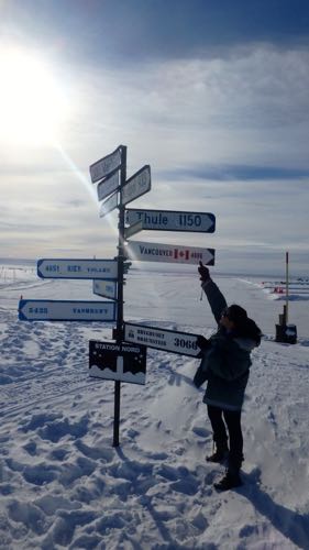 Which Way to Thule?
Our Danish Air Force host offered a ride on a snowmobile from the sign to the plane! We blasted off too fast for pictures, but it was an experience of a lifetime!
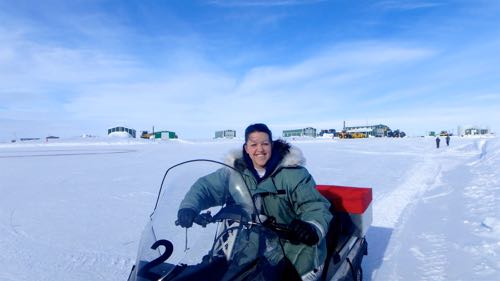 Fast and furious snowmobile ride to the plane.
Goodbye, Station Nord!
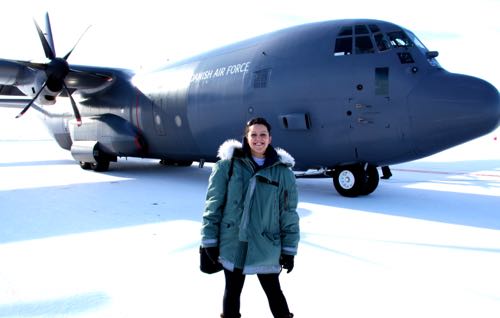 Kelly McCarthy stands in front of the Royal Danish Air Force C-130 Hercules during a fuel transport to Station Nord
Question of the Day
If Station Nord is the second northernmost settlement in the world, what's the highest northern settlement, in what country is it found, and what is its latitude coordinate?
NOTE: STAY TUNED FOR TODAY'S SPONSOR CLASS (PHOTO TRANSFER GLITCH TO BE FIXED)


Comments