It's been a full night's sleep since the P3 rolled in and, while there is no science flight on the agenda, that does not mean there is no work to be done! I tagged along with the ATM team as they headed to Hangar 8 at 8 a.m. this morning. The first thing on the agenda was to download data collected from the instruments. In the nose of the plane, two infrared cameras are installed. One is called the FLIR infrared radiometer and the other is the Ball Experimental Sea Surface Temperature Radiometer (BESST). Both of these instruments are used to collect data involving temperature changes in the surface of the sea ice. THE FLIR radiometer is collecting and uploading information continuously. The data collected by BESST is stored in a hard drive connected to the instrument to be downloaded post-flight.
The process of downloading the data from the BESST instrument involves bringing a computer to the nose of the plane and connecting it to the instrument directly. A generator in the hangar and an extension cord provide the power. In the photos below, you'll see the ATM team working out that procedure and then lifting the nose to run some tests on the instrument itself.
 Moving data off of the BESST instrument located in Miss Piggy's nose.
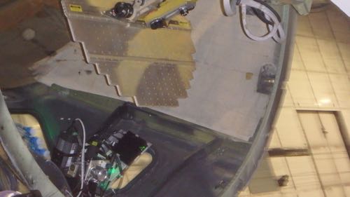 Nose Up for BESST data collection testing
First Tour of the P3
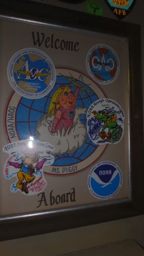
I had my first look inside the P3 in the midst of instrument teams carefully removing servers from on board, or cleaning ports through which instruments view. Filled with sensors in every port, data racks in every compartment available, and a hanger of flight suits, I think it is exactly what one would expect of an airborne laboratory. A few photos to follow, but more will come once we are in flight!
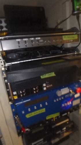 The ATM data is monitored here.

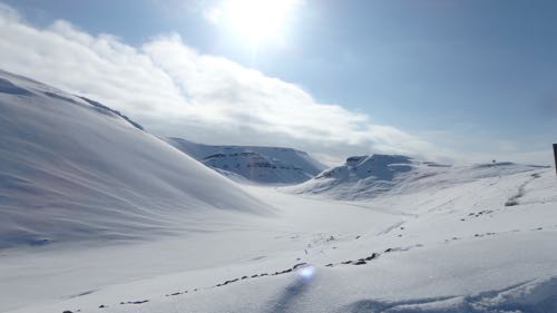
Once the work morning was finished, there were snow packed mountains to explore. As a culture-building exercise, the community center on base organizes weekend adventures. This weekend, a 6 mile hike to the closest land glacier near the ice cap was arranged. Unfortunately, due to the large amount of snow Thule has received in the past two days, safety was an issue. Instead, we hiked to a historical site off base called the D-launch (one of four old Nike Missile Launch sites). I had been to this place by truck a week ago when there was no snow on the ground, but completing this hike was very different. The bright arctic sun shining over the snow-packed valley as a group of us equipped with snow shoes and poles was an experience of a lifetime. The elevation changes were difficult, and it was important to stay close as a group in case we ran into a polar bear (we did not). The view at the end was the sea ice of North Star Bay and it was completely worth the sweat and too many layers and clumsiness of snow shoe walking. The hike was peaceful, quiet, and it made me really fall in love with the culture of this place.
Looking at the sea ice from this vantage point is especially exciting because we'll be running science flights over the space very soon.

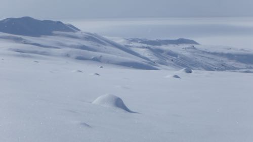 Beautiful Arctic Valley
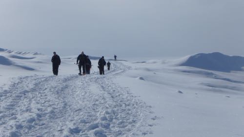
 Which way to the beach?
In addition to the infrared and ATM instruments on board the P3 this year, we also have a suite of radar instruments made by CResis. Can you name them?


Comments