Today we paid a quick visit to one of the many stone age settlements we have found in the woods. With me in the van were Professor Ezra Zubrow, Dr. Eva Hulse, graduate students Dustin Keeler and Greg Korosec, and undergraduate students Sarah Billiar and Loretta Sun, all from the University of Buffalo.
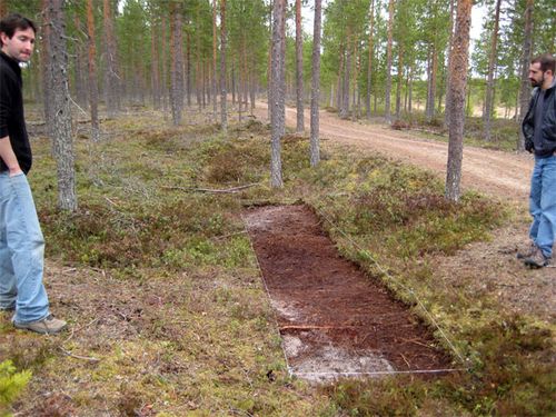 A strip of vegetation has been removed from this long shallow depression in the forest floor. Dustin and Greg are examining it
There are a series of shallow depressions in the forest floor that most people wouldn't notice at all. To the experienced eye of an archaeologist, however, they reveal themselves as the foundations of pit houses. Some are as long as a school bus.
Five thousand years ago (more or less) this place was on the coast. The land here has been rising ever since the glacier melted at the end of the last ice age and removed all that weight that was pressing the land down.
Yesterday we removed some vegetation from a rectangle of the forest floor to reveal the dirt (beach sand, actually) underneath.
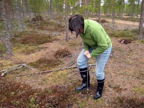 It's difficult to do if the ground is still frozen
We took a soil core using this device that is basically a steel pipe with a handle.
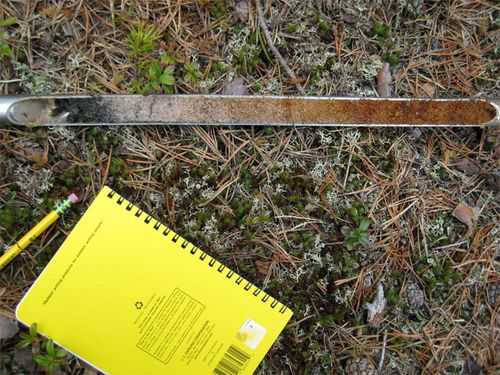 There is about an inch of black organic material on top, then its just beach sand. Iron oxide leached from the upper layers stains the lower portion reddish brown
The soil core is a textbook example of Podzol. Podzol is the type of soil profile you find in humid, cold, acidic soils where there are conifers (pine and fir trees) dropping their needles onto the ground. The needles release organic acids into the ground as they decompose.
The black layer at the top is called the A Horizon. It is black because there are plenty of carbon-containing molecules in this layer. Here this layer is only an inch thick, however! In rich soils it might be several feet thick.
Below the black layer is the white E Horizon. This consists of beach sand from a 5000-year old beach, with all of the plant nutrients leached out of it by the acidic water that percolates down from above.
Below that is the B Horizon. This is stained reddish-brown by iron oxide (rust) that came from above. When we test soils for phosphorus (more about that later) we will test samples from the B horizon.
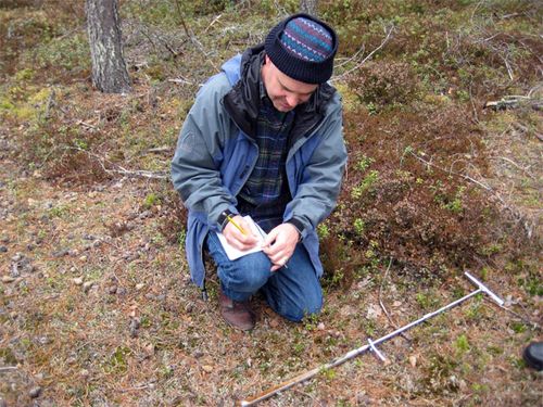 When everything is so new, you'll forget things if you don't write them down.
Boreal Forest is a term that describes the cold spruce and fir forests that circle the Arctic in Scandanavia, Russia and Canada. This particular boreal forest on this particualr day was wonderful to walk in. The carpet of moss and pine needles made each step soft. It was dry, though, and relatively warm. The birds were singing softly in the distance.
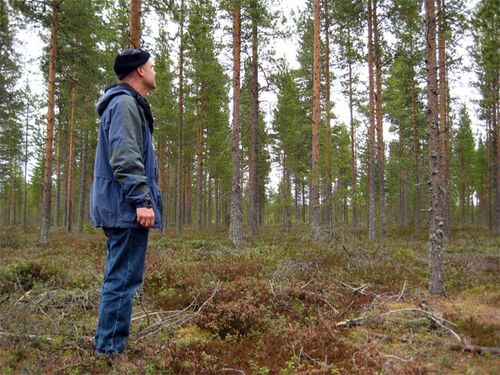 The moss and pine needles underfoot are spongy and soft, but dry. Birds are singing softly. I could spend a long time here and be perfectly happy.
There were cores and flakes of quartz lying around on the surface of the ground. People here made most of their tools, arrowheads and spear points out of quartz.
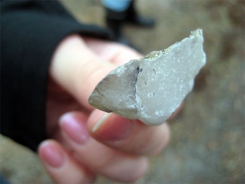 It was lying in the middle of the road. We put it back.
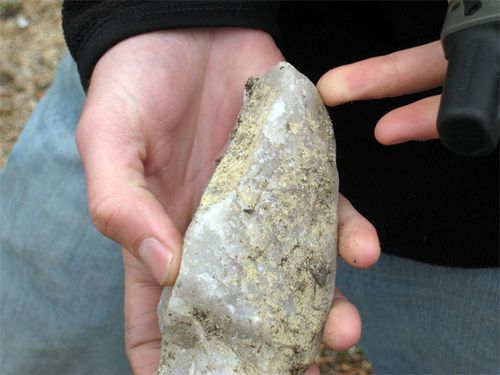 It was just lying there on the ground. About five thousand years ago, somebody used it to chip stone flakes off it to make tools.
Greg and Dustin used a GPS Rover Rod to locate exactly the corners of the rectangle. "GPS" stands for "Global Positioning System." It uses satellites to locate where on Earth you are. This system, however, doesn't just use satellites. It also gets signals from a nearby station on Earth. It is so accurate that it can tell where it is to within one centimeter!
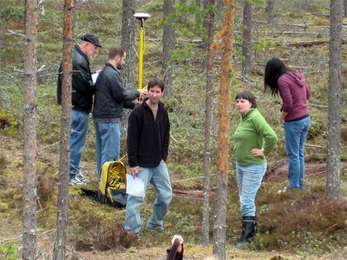 I took this picture from the top of a wooden tower that people use as a moose-hunting stand
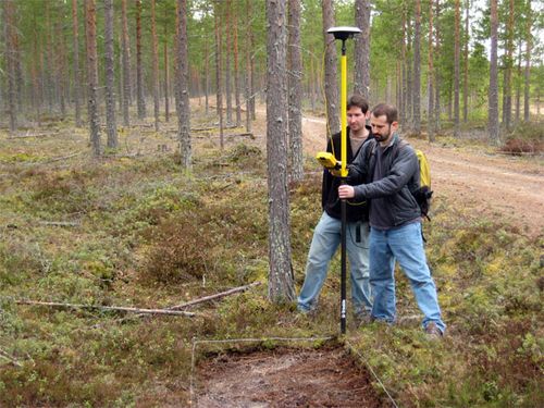 It locates the corners of our rectangle to within one centimeter on the earth's surface!
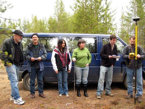 Sarah isn't in the picture because she took it
Then we visited the excellent Kierikki Stone Age Center Museum. I promise I will report on what is there some other day. It's cool.
Today we were in a hurry and our main job was to download some data from the GPS station we placed on the roof of the museum. (We did get permission.) This station takes weeks to figure out exactly where it is on Earth, and then the GPS Rover Rod receives signals from it. That is why this system is so much more precise than a regular GPS system.
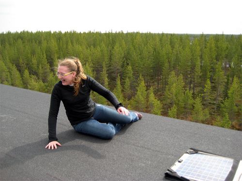 Careful Sarah! It's a long way down
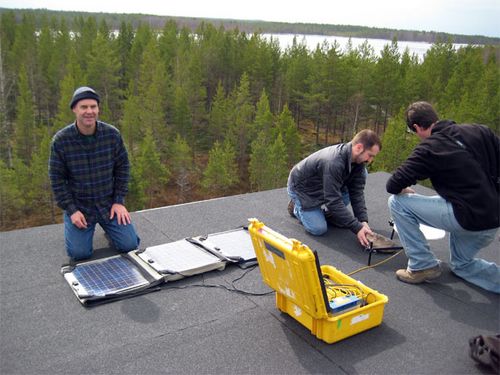 Since the land is so flat, you can see a long way from up here
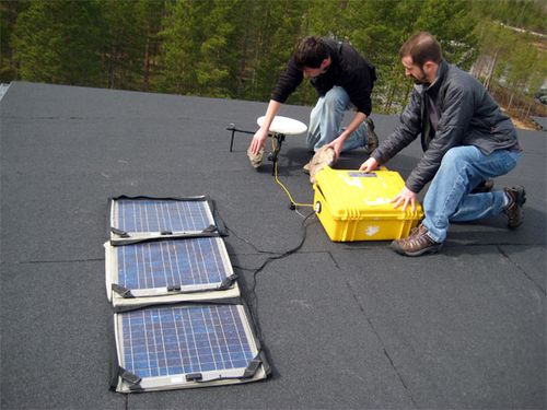 The transponder is powered by a battery in the yellow box and the solar panels. We will leave it up there a few weeks so it can average thousands of readings and figure out EXACTLY where it is
Tomorrow we have a day off. I think I'll go for a bike ride.

