This morning we went on a tour of Stone Age settlements. Three of our leaders, **Eva Hulse** of the State University of New York at Buffalo, **Jennifer Bracewell** of McGill University and **Sam Vaneeckhout** of the University of Oulu showed us some of the places they have excavated in the past. This was partly to give us new people a context for our work, and partly to show us what a stone age settlement looks like so we can start surveying.
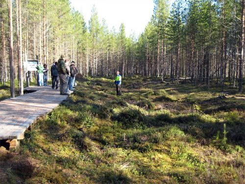 This monster is about the same size as the main cabin of a 747 passenger jet!
A Stone Age settlement is indicated by one or more shallow depressions in the ground. These were the foundations for pit houses. Often there’s a spot in the middle where the vegetation is especially lush because of the extra nutrients from the fireplace ashes. Once in a while, stone flakes or pottery shards are visible.
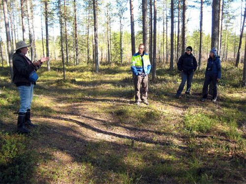 This one is the size of a large room
Jennifer Bracewell showed us a place they call "The Thing” where earth has been arranged into a doughnut shape almost half the size of a soccer field. Later, the place was apparently used to forge iron but that wasn’t its original purpose. What that was nobody knows.
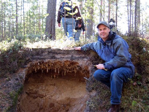 A cut into the ground reveals two ancient "A" horizons (dark bands) in the soil under the surface. See my May 9 post for a discussion of "A" Horizons. What this means is that the surface of the ground was buried by people under fresh dirt. Twice. Hundreds of years apart.
We went to the **Kierikki Stone Age Center **to have lunch. At the center, they have constructed a row of pit houses as they might have looked 5000 years ago. We had lunch inside them. They were comfortable and atmospheric.
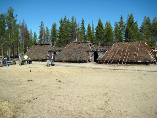 You can see how they were made in a neat row. That's probably why some of the foundations are so large - they support more than one house.
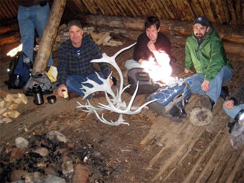 It is a comfortable, smoky place out of the sun and wind
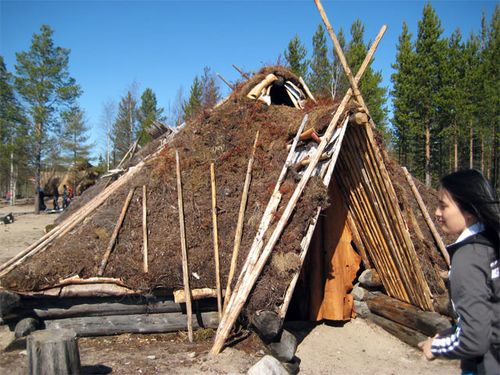 Kierikki Stone Age Center
After lunch it was time to go surveying. Dustin Keeler and Greg Korosec of SUNY Buffalo had previously identified some new places to survey. Dustin took his team along a line that is 60 meters (197 feet) above sea level. Greg lead his team at 55 meters (180 feet) above sea level. I was part of Greg’s team.
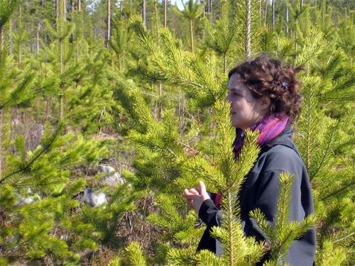 surveying
Here’s how surveying works: Greg holds a **GPS** (global positioning system) device that tells us where we are. The rest of us form a line to the right and left of him, each person about twenty steps away from the next. We advance together in a line, keeping our eyes on the ground. We leap across ditches, trip over stumps, slog through wetlands and crash through bushes. Greg moves fast, and you have to keep up! If we see something suggestive of a pit house we call out and Greg comes over to look.
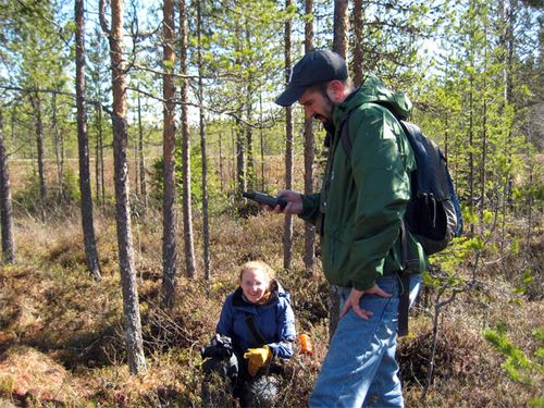 Greg is marking the place where we stopped on his GPS
It’s exciting to charge through the wood this way. The terrain is always changing. You could never do this in California, because of all the poison oak. There are poisonous snakes here – adders – but we do not see any.
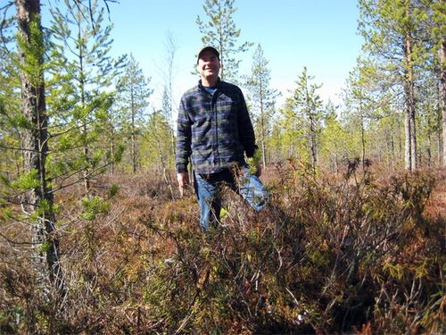 Surveying
At the end of five or so of these transects, we haven’t found anything. That’s OK though. A negative result is still new information. Now all Finland archaeologists will know that a team surveyed there and didn’t find anything. If anything significant was there, we would have seen it. As it was, we were calling Greg over to look at every little puddle of water.
When we reconvene at the museum we learn that the 60 meter team found a lot of new Stone Age sites! They were so obvious that the team was surprised that nobody had found them before. But, you don’t find things like that unless you look.
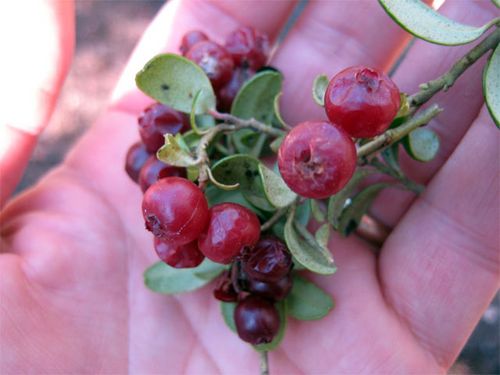 The Finns love their lingonberries. They are everywhere in the woods. These are from last year. They have spent the winter frozen. They are sour and mushy and slightly fermented now, but still good to eat.
Tomorrow I’m going to be a docent at the museum and help teach school groups.
Update on May 21: Of all the things we do, surveying is still my favorite.

