Land ho! My first view of Antarctica was Smith Island, one of the most majestic pieces of land I’ve ever seen. I stood out on the bow by myself for several minutes just staring. I can’t believe I’m here. Did I mention that I saw the dorsal fin of a humpback whale today?
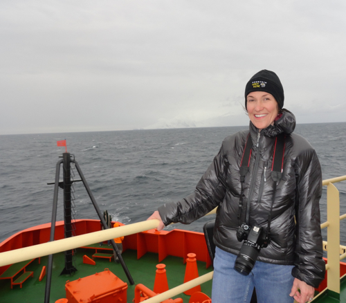 Me with Smith Island on the horizon
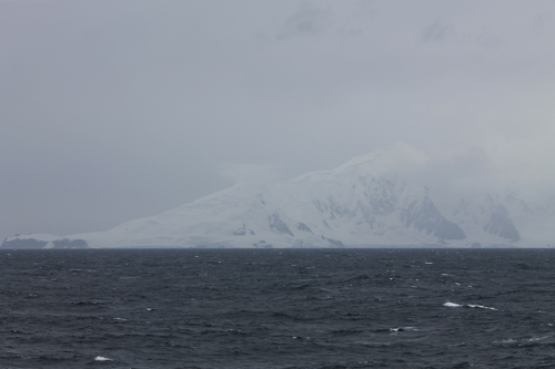 My first sighting of Antarctica, Smith Island
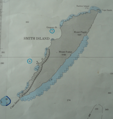 Smith Island on a nautical chart
It’s only 11:00 a.m. and so much has already happened. I woke up with my roommates, Janice and Julie, to catch the sunrise. We got up to the bridge at 5:30 a.m. and the sun was already up, but the sky was still gorgeous.
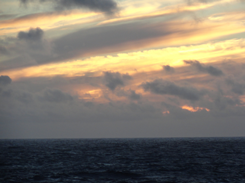 Sunrise in the Drake Passage
I felt incredibly lucky this morning to eat breakfast with Dr. Jim Bockheim, a pedologist (soil scientist) from the University of Wisconsin. He and a team of geologists will be stopping today at Cierva Point on the western Antarctic Peninsula, to look for a potential study site. They will be staying at Palmer Station for 2 weeks and at a field camp, in tents, for 3 weeks. Dr. Bockheim’s team is made up of 5 scientists and a camp manager. Their research is fascinating. They will be looking for ice free areas that are accessible by zodiac on Cierva Point; they are especially interested in sites that are higher in elevation (150 m or more) than their site at Palmer Station, where the maximum elevation is about 70 m.
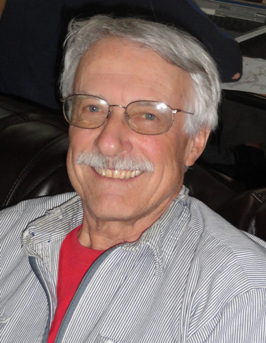 Geologist, Dr. Jim Bockheim
Dr. Bockheim explained to me that climate change data related to permafrost has been collected in the Arctic for many years, but that similar data has only been collected in the Antarctic since 1995. Permafrost is defined as a frozen area within the ground (rock or soil) that has remained at or below zero for 2 or more consecutive years.
In Antarctica most of the climate change data has involved ocean temperatures, air temperatures and ice retreat. Dr. Bockheim and his team will be collecting several different types of data including:
Soil conditions: this includes salinity and moisture
Soil samples: to identify different soil horizons (or layers), taking samples from each layer
Thawing of permafrost and seasonal changes in permafrost: looking at how long the melt layer lasts in the summer and how deep it is
Atmospheric conditions: monitoring temperature, wind speed and direction, precipitation, relative humidity, soil temperature, electrical conductivity in the soil (this provides information about salinity and moisture)
Bore hole data: this will involve both shallow bore holes (150 cm) and permafrost holes (16 m). The permafrost hole will provide more in depth information of what’s happening with temperature underground.
Similar data is being collected at several other spots along the western Antarctic peninsula at:
King George Island
Livingston Island
Deception Island
Anvers Island
Rothera Station
Amsler Island
Cierva Point
Some of these are sites of British research stations (King George, Livingston, and Rothera) while Deception Island is the site of a Spanish research station. Scientists are interested in comparing data from these points to have a better understanding of the distribution and depth of permafrost along the western Antarctic peninsula. A major question they are trying to answer is: What variables affect permafrost distribution and depth? Are differences due to latitude? Are differences due to sea ice? Are they due to something else?
We will be stopping at Cierva Point, the location of Primavera Station, which is an Argentinian scientific research station. The team will get off the LMG and take a zodiac to shore. Other researchers on Dr. Bockheim’s project include his graduate students Kelly Wilhelm and Nicholas Haus as well as Dr. Goncsalo Vieira, a professor from the University of Lisbon in Portugal and his graduate student Alex Nieuwendam. The scientists will also be joined in the field by Stian Alesandrini, a Raytheon employee, who will serve as Camp Manager for the project. Stian will help them work out logistics at their field camp.
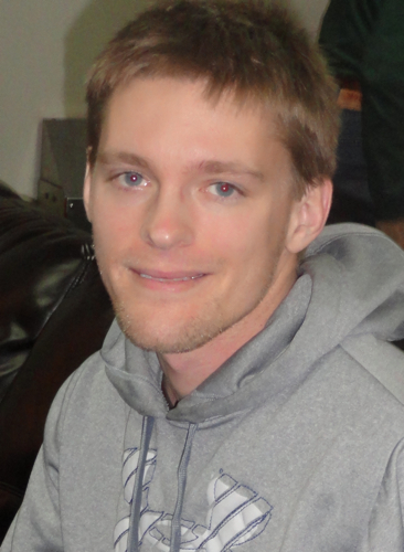 Graduate student, Kelly Wilhelm
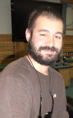 Graduate student, Nicholas Haus
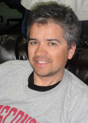 Geologist, Dr. Goncsalo Vieira
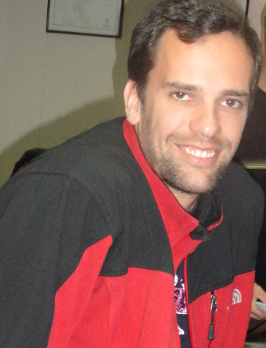 Graduate student, Alex Nieuwendam
I listened to Dr. Bockheim explaining to his team what they’ll be looking for today and encouraging them to be as efficient as possible. He asked them to take many photographs and to document geomorphology information including occurrence of raised beaches, glacial moraines, outwash plains and penguin rookeries. A major goal is to find locations for bore holes. I will be excited to hear about what they discover and will get back to you about that soon!
After breakfast, we had a “Boating One” safety course and I learned some new things. I’ll also be taking a “Boating Two” course once I get to Palmer Station, because I will be out in the zodiacs regularly with Dr. Amsler and his team. I have spent some time in boats, particularly in Blue Hill, Maine where I’ve worked as a naturalist for the Marine Environmental Research Institute (MERI). Several of the things Ryan Wallace, the instructor told us today, were familiar but many of them were things I’ve never had to consider while in a boat. First and foremost, people operating boats around Palmer Station need to be aware of sea ice and icebergs. Ryan talked about brash ice, which is 1-2 meters in diameter or smaller. It comes from calving glaciers and can be extremely dangerous; his advice was when you see brash ice SLOW DOWN! The other type of ice we’ll need to watch for is “bar ice.” This is extremely pure and has been at the bottom of a glacier where it’s been compressed so the air bubbles have been squeezed out. This ice is particularly hard to spot in the water because it’s clear; Ryan described it as nearly invisible. I learned that there are survival caches on several of the islands around Palmer Station. These hold tents, stoves and food and can be used by people who become stranded due to weather or problems with the boat. I learned that slips and falls are the main reason for injuries on the boats and that hypothermia is a bigger risk at Palmer Station than at McMurdo Station because there is more precipitation at Palmer. Caution must be used when approaching a glacier; the rule of thumb is to stay at least 300 meters from a glacier and 3 times the maximum height away from an iceberg. This is to avoid being injured if the glacier calves (this is when a piece breaks off).
I also spent some time with Dr. Amsler and the rest of his team: Dr. McClintock, Maggie Amsler, Julie Schram and Kate Schoenrock. We talked about what we'll do once we arrive at Palmer Station and I learned some more about my responsibilities as a diver tender on the zodiac. I really hope we don't encounter any leopard seals, but if we do I know what to do! More soon...

