Forefield of Tsanfleuron Glacier
Our first target was the Tsanfleuron glacier, a 3.5 km long glacier located in the western Bernese Alps in the cantons of Valais of Switzerland. The group had decided the night before that we would leave the house around 7:30 am and pack all our equipment into the cars. Since we would also have to carry our personal supplies (food, water, rain gear, etc.), we had to spend some time before we left divvying up the supplies amongst those of us not carrying the drone and GPS equipment.
As you can see from the picture, we were quite weighed down.
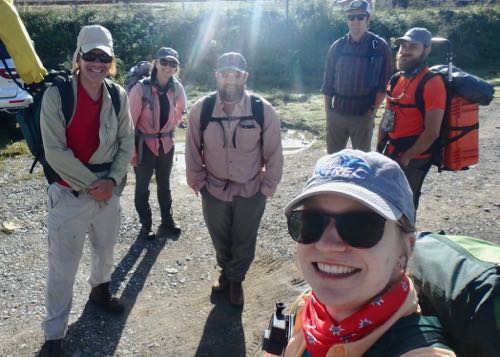 The PolarTREC sliding glaciers team all loaded up and ready to hike out into the field.
The hike in was spectacular and I kept stopping every 30 seconds to take pictures. Every way I turned there was an even more amazing view with brightly colored wildflowers and breath taking views of the Alps.
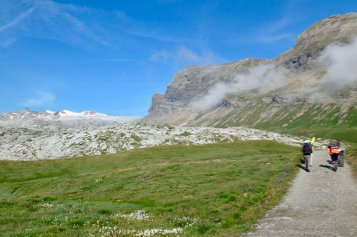 View on the hike out to the Tsanfleuron forefield.
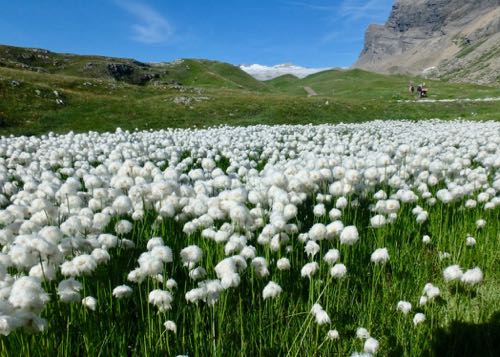 Beautiful cotton ball like wildflowers on the way out to Tsanfleuron.
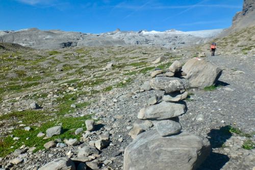 Getting closer to the forefield, the landscape becomes more rocky.
It took a little over an hour to scale up the ~1,000 foot ascent and to get to the middle of the glacier forefield. As I had feared, I was the slowest hiker in the group. My lungs and legs felt fine, but the added weight of all the extra equipment and additional water bottles really slowed me down. I really struggled in some spots, especially climbing up some of the rock cliffs. But I made it. Big thanks to the team for keeping an eye out on me and for not making me feel like a total loser for being so slow.
Once we made it to the center of the forefield, we split up into teams and got down to work. If you missed it, I explained how the measurements are taken in the field in a previous journal.
Link to explanation of field measurements
Luke and Jake set up the base GPS unit and got to work getting the drone ready to fly, and the rest of us set out with a handheld GPS unit and a stack of painted vinyl markers (they were actually painted baseball bases) to start placing them at the predetermined coordinates around the survey area.
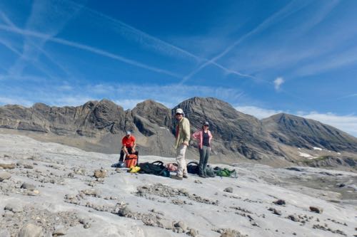 The team made it to the center of the survey area and is getting ready to set up.
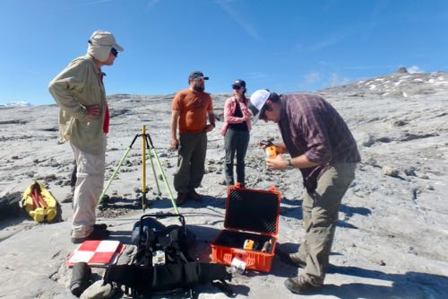 Setting up the base GPS unit to start the drone survey.
I headed out with Anna to find and place seven of these markers. I enjoyed using the directional arrow on the GPS unit to guide us to the location as it felt a little like a treasure hunt. But it took us about an hour and a half to place all seven of them because they were all so spread out from each other across the field. We also had to hike up and down the undulating forefield that just added to the time it took us to find all the locations.
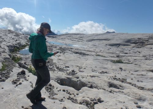 Graduate Student Anna used the GPS to navigate our way to the waypoints so we can place the markers.
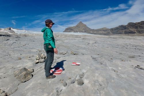 We found one of the way points and we place one of the markers!
The landscape was so impressive and there were signs of glacial erosion everywhere you looked. I wasn’t able to get right up to the edge of the glacier at this sight because this forefield is so large that the area we were surveying wasn’t right up against the edge of it. We were all kept very busy moving between the different locations to record the GPS locations, making field measurements, and collecting the markers, that hiking another hour or so up the mountain to see the edge didn’t seem that appealing.
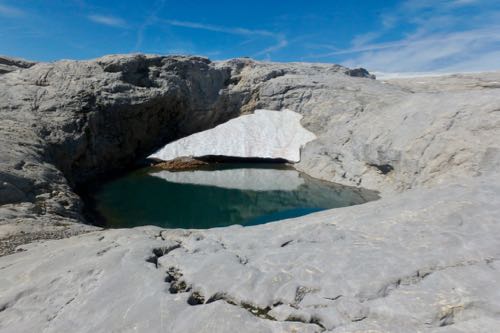 Typical landscape of the Tsanfleuron glacier forefield. The smoothed limestone bedrock is full of many small meltwater ponds and hilly ground.
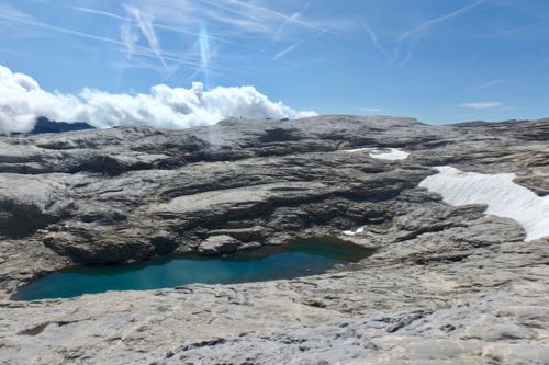 Another view of the topography in the Tsanfleuron glacier forefield.
It took the drone several hours to survey the entire grid, and it was done twice! The first run was done with the camera looking straight down and the second run with the camera at an oblique area. This would ensure that it would get pictures of any areas with particularly steep angles that might be affected by shadow and not well imaged with the camera looking straight down. When the drone finally touched down for the last time it had collected about 100 GB of data!
By this point we were all very tired and ready to head back to take our hiking boots off, nurse our aches and pains acquired through out the day, eat dinner, and go to bed. But before we could do that last one, the grid and GPS points for the following day needed to be planned out. So Luke, Neil, and Jake spent some time back at the house plotting out the course for the next day, where the team will be heading back to the Tsanfleuron Glacier to survey the other side of the forefield.
Hike Stats
Steps: 25,221
Distance Traveled: 10.5 miles
Flights Climbed: 81 floors
Ascent: ~1,000 feet
PolarTREC Poppy
Poppy is trying to get the perfect picture of the Tsanfleuron Glacier.
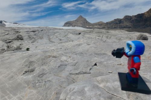 PolarTREC Poppy is in awe of her surroundings and is trying to capture the perfect picture.
Glacier Flags
Before I left for the field I connected with several school and student groups to talk about this expedition. I gave some of them blank flags and asked them to decorate them any way they wanted and promised them that I would take pictures of them up by the glaciers.
Today’s flag comes from a group of K-12 students in Washington, D.C. They chose an environmental theme for their design. It looks great up in the Tsanfleuron forefield!
 Group of K-12 students from Washington, D.C. showing off their PolarTREC flag they made. From left to right we have Nicole and Nadia Lytle, and Vivian, Alice, and Liam Pittard. Photo taken by Melanie Pittard.
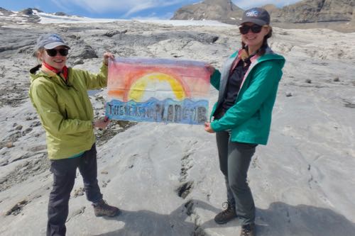 Anna and I hold the D.C. flag in front of the glacier.
Daily Haiku
Ragged breaths, one foot
in front of the other, Hike
to cold alpine heights
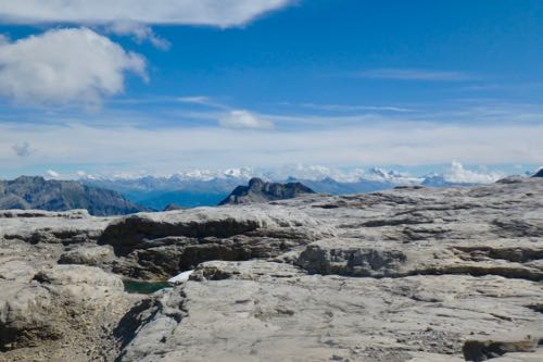 Breath taking views of the Alps from the Tsanflueron Glacial forefield.

Add new comment