Conquering the Beast
Giving up is not something I like to do, and failure is something that usually haunts me for extended periods of time. But today I had to say I couldn’t do it. Usser Tal was just too much for my body and especially my lungs to handle coming off of being sick.
This beast of a trail was the one the entire group had been dreading since we arrived. The total gain in altitude is about 3,300 feet to the glacial forefield and there were some real obstacles that we might encounter along the way. The final trudge up the mountain was unclear from Google Earth, so we just had to be resigned to wait until we got there to see if we could find a path up. They could also see a stream that would need to be crossed. It was also uncertain that there would be a safe path to cross this.
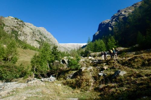 View of the Usser Tal Glacier from the hiking trail.
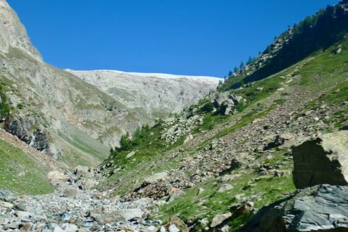 Getting closer to Usser Tal Glacier. You can already see how steep the trail is getting.
About 2/3 of the way there the group had to stop and scope out the path ahead with binoculars. No one could really make out where the path was or which way they thought they should go so they just decided to go and figure it out along the way.
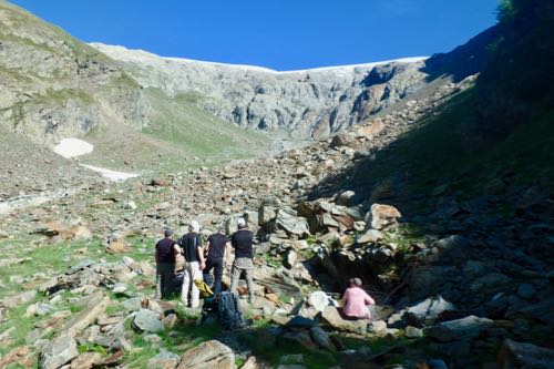 The group stops to scope out the best possible route up.
This is where I parted ways with the group. Given an unlimited amount of time, I could have made it up, but none of us felt comfortable having me walk the very steep path alone while the rest walked ahead. The equipment we set up to do the measurements has a limited amount of battery time, therefore the survey has to be done within that time frame. If someone hung back with me they would not be able to get the survey done within the allotted time.
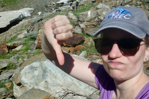 I'm not happy with myself that I couldn't make it up the last part of the trail.
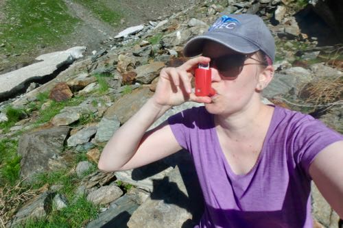 My lungs were even less happy with me doing such a steep hike after being sick.
So I stayed and I’m now sitting here on a rock writing this journal and throwing myself my own pity party. I know what you are all going to say, “you should be proud you made it that far,” and “it is better that you didn’t make yourself more sick by pushing too hard.”
All true, I know. Oh well, there is always next time.
Here are some pictures to give you an idea of how steep the last part of the trail was. This last part was only 1/3 of the total distance but more than half of the altitude gain.
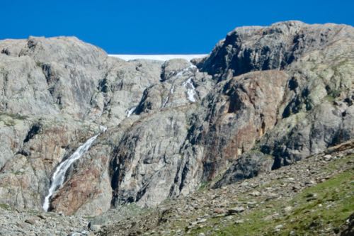 The trail took us to the tops of those grey rocks. I mean, do you see how steep that is?
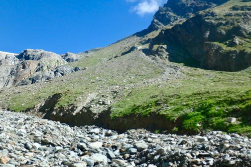 The near vertical path up to Usser Tal that I could just not handle.
After returning to our house and making dinner, I asked Jake, Christian, and Luke to describe the last part of the trail to me. Jake described it as jumping out of a second story window face first. Christian, pondered the question and announced it was grueling but nice. Luke, looked at all of us and told us, no, it was not nice.
Once they got up the hill, the rest of the day went smoothly, and they even got to see some Ibex. The ease at which they pounce up the mountain rocks seems to mock us all.
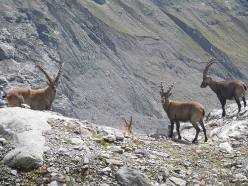 Wild Ibex walking around on the rocks at the Usser Tal forefield. Photo by Neal Iverson.
PolarTREC Poppy
Even though Poppy and I didn’t make it up to the top at Usser Tal, we spent some time exploring the stream and the rocks around the trail.
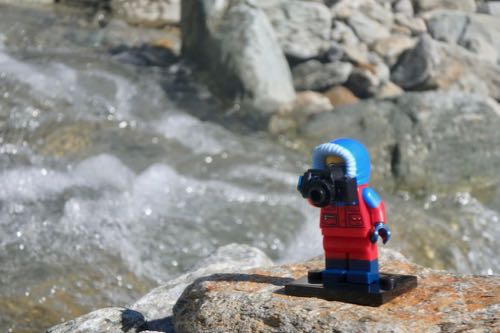 PolarTREC Poppy and I explored the stream for a little bit finding lots of pretty rocks.
Glacier Flags
Today’s flag comes from a 4th Grade class from Memorial Elementary School in East Brunswick, NJ. I had the pleasure of visiting these kids in May to talk to them about Polar Science and I can’t wait to go back and talk to them about glaciers in the fall.
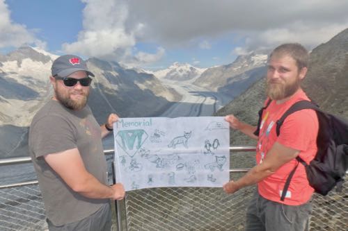 Luke and Christian show off one of the 4th Grade's flag from Memorial Elementary School in East Brunswick, NJ. The Aletsch Glacier can be seen behind the flag.
Daily Haiku
The mountain scores one
I score zero, Get up and
try again next day


Add new comment