Cruise Day 8
Speed 1 knot (kts) (on station)
Course 208° (SSW)
Location Chukchi Sea, approx. 36 nm SW of Point Hope , Alaska
Depth 59 m
GO DEEPER DISCUSSION: (see previous journal for the questions.)
The bungee cords around my chair and over my laptop are to keep them in place when the ship is rolling. We’ve had a pretty smooth ride but when I leave the area I make sure to secure these items as I wouldn’t want the chair rolling around the future lab running into stuff or to have my laptop get dumped onto the floor.
TODAY’S JOURNAL:
It’s been a busy 24 hours on board Healy, with two science stations conducted last night and another one ongoing as I write this journal. The two stations last night were done at oceanographic mooring locations. A mooring is a collection of instruments attached to a line that is anchored to the sea floor. Floats are used to hold the string of instruments up at various depths, and generally the instruments can be released from their anchor by means of a sonar signal to be recovered after an extended period of time. The GEOTRACES cruise is interested in getting water from the proximity of moorings so data sets from both studies can be correlated. Normally it wouldn’t be possible to do two stations in a night but three factors led to the unusual circumstance. First, the casts were in shallow water (around 50 meters deep.) Second, a limited number of casts were made at these stations. Finally, the stations were pretty close together. So we wrapped up a station around midnight, and were starting the next one at 3 am.
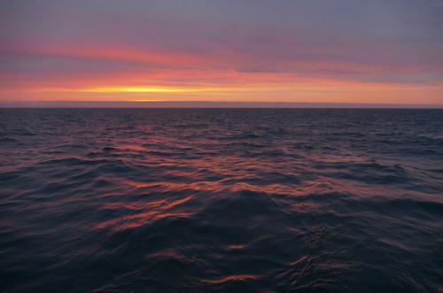
 Night opps paid off with another spectacular sunset, this time right in the throat of the Bering Strait.
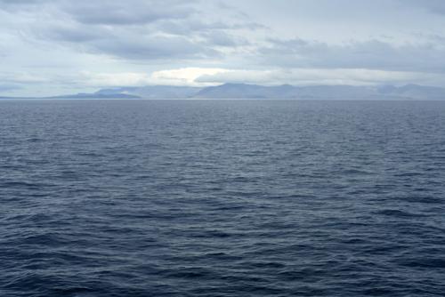
We noted some significant geography last night. As we were on the first of our night stations, we could see a nearby pair of islands, the Diomedes. Little Diomede Island is US Territory, while Big Diomede Island is Russian. They are separated by only 3.8 km (2.4 mi.) Additionally, we could see Cape Prince Of Wales distantly to the southeast and Cape Dezhneva to the northeast. Cape Prince of Wales is the tip of the Seward Peninsula in Alaska, while Cape Dezhenva is the tip of Russia’s Chukotskiy Peninsula. These peninsulas confine the narrowest part of the Bering Strait, the oceanic passage between the Bering Sea to the south and the Chukchi Sea to the north. While narrow (82km or 51mi. at its narrowest) and shallow (approx. 50 meters deep), the Bering Strait is one of two significant connections from the largely land-bound Arctic Ocean to other oceans (in this case, the Pacific Ocean.) The other is the Fram Strait, which connects the Arctic Ocean to the Atlantic between Greenland and Europe. The Bering Strait accounts for about 1/3 of the exchange of water between the Arctic Ocean and other oceans, with the Fram Strait responsible for about 2/3.
 Big Diomede Island (right) is Russian, while Little Diomede Island (left) is US territory. They are separated by less than 4 km.
 Cape Prince Of Whales, Alaska, borders the eastern side of the Bering Strait.
 Cape Dezhneva , the very distant land visible near the horizon right of the Diomede Islands, borders the western side of the Bering Strait.
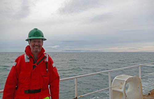
 PolarTREC Teacher Bill Schmoker & the Diomede Islands. It is true that you can see Russia from Alaska, but you have to be in the Bering Strait on a clear enough day to do so!
Another major event of the cruise was crossing the Arctic Circle early this morning. This circle is at 66°33′45.7″ N. Latitude, and marks the southern limit of 24-hour daylight on the summer solstice (and conversely the limit of a 24-hour sunless day on the winter solstice.) By that astronomical definition, we are officially in the Arctic for much of the next two months. Climatically, the Arctic can be defined as a region where the average July temperature is below 10°C (~50° F.) A line with colder average temperatures inside and warmer outside is called an isotherm (iso means equal, and therm means temperature.) By that definition, the 10°C isotherm bounds the southern limit of the Arctic and we have been inside it since we arrived in Dutch Harbor.
 This Arctic Region Map shows the Arctic Circle in blue and the 10°C isotherm in red. Photo courtesy Wikipedia Commons.
GO DEEPER!
Big and Little Diomede are separated by just a few kilometers, but the time on Little Diomede is 21 hours behind the time on Big Diomede. For example, as I write it is currently 3:45 pm, August 16 on Little Diomede but 12:45pm, August 17 on Big Diomede. What is going on with that?
Aloft Con web cam updated every hour
Healy Track
That's all for now. Best- Bill

