As Christina and I visit different monitoring sites for the NASA ABoVE project around Fairbanks, we have several different tasks we have to perform. Today I am going to focus on thaw depth, my personal favorite.
To measure thaw depth I first need to use the GPS to find the beginning and ending points of the transect (line). I then run a measuring tape between these two points. Every meter on the transect (line), I stick a large metal rod into the ground until I hit frozen ground, measuring how deep the active (not frozen) layer of the soil is. I then complete this with the other two transects at each site. I take about hundred measurements a day, so I'm currently up to 300.
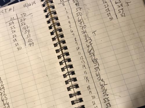
 Recording the measurements – rain or shine!
Why do I love taking thaw depth? Because:
1. It is a measurement I am pretty sure I can take, not get wrong, and actually help out the team by doing.
2. Of how active and physical taking the measurement is – it helps keep you warm!
3. By bending over so much, I often get to notice smaller things about the tundra – cool lichen and moss, a spider, and even blueberry snacks!
4. But mostly, I love the sound the measuring stick makes when it hits frozen ground – a "thunk." I feel most connected to the permafrost at that moment – and to the history of the Earth (both past and present).
Here is a video of us measuring thaw depth at a super high speed. This is condensed from 8 minutes to 30 seconds.
Today's 360 Image
Can you see our footprints in the snow from doing thaw depth transects at Galbraith Lake near Toolik Field Station?


Add new comment