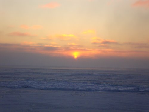
Yesterday...the sun ROSE above the horizon! This was the first day in 10 days for us to SEE the sun! The sky was beautiful and pink...it was just as gorgeous as I remembered it as it shone across the ice and water.
 Our first sunrise in more than 10 days - gorgeous!
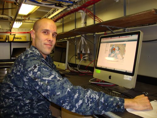
A few days ago, we were told to “secure for sea” and that we would be in open water soon. I thought that meant that we were finished with the ice. I was WRONG! We were in open water as we transited from the Point Lay line to the Point Hope line. We are now operating in ice conditions again...it is new ice, but still ice. I asked AG1 McLaren to explain where the ice came from.
 AG1 McLaren working on our ice forecasts
It is easiest for ice to form close to land. There, the water is more shallow and can cool to the freezing point more quickly than in open water. The ice that we are in now, formed north of Point Hope and flowed south following the coastline of Alaska. When you watch it on a loop, you can actually see the ice flowing. I am going to add the video loop to the Resource section of this Journal! Look for it there! The green line is the course the Healy has taken. You can see the ice building near the coastline and then it begins to flow. Thank you Steve Roberts, UCAR for sharing the video with me!
http://www.youtube.com/watch?feature=player_profilepage&v=ZC7ocCXxwfY
During AG1's explanation, we found some interesting features on the Healy map server. Notice on the image below cloud lines have formed over the water. The temperature on land is very cold – below zero degrees Fahrenheit. This is classified as a Continental Polar Air Mass. The temperature of the water is about 30 degrees Fahrenheit and is classified as a Maritime Polar Air Mass. When the Continental Polar Air meets the Maritime Polar Air (much warmer air) it causes evaporation. It evaporates in such a way that cloud lines form.
 Cloud lines forming over the Chukchi Sea
You can tell the direction of the wind by looking at the cloud lines. Near the top of the image, the lines appear horizontal. This indicates that the wind is coming from due East. As you move south through the Chukchi Sea, you can see the cloud lines change direction as a result of more north-easterly winds.
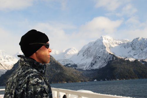
This is a perfect journal to introduce you to AG1 Chad McLaren. He is a member of the Science Team from The National Ice Center. He is a Navy Petty Officer 1st Class (AG1). As a Navy aerographer's mate, he could be doing anything that deals with environmental impacts on the fleet. It could be anything from aviation weather, anti-submarine warfare, mine warfare, space weather or ice charting.
 AG1 McLaren in Seward Harbor
After boot camp, Navy AGs are sent to Biloxi, MS for what is known as AG "A" school. Its a three month program that teaches you how to be a weather technician in the fleet. After serving at you first duty station for about 3-5 years you return to Biloxi for AG "C". It's a nine month school that deals with weather forecasting.
When I asked AG1 what he enjoys most about his job, he said “the opportunity to travel”. He's been able to go places and see things that he would never have been able to otherwise. AG1 McLaren also said that he's really enjoyed his time in the Navy. He has no regrets about joining. If you're someone who is considering joining the Navy, talk to a recruiter and see what they can offer you.
If you're someone who is interested in environmental/natural sciences then you may want to consider becoming an aerographer's mate. I'll finish with a few words of wisdom. “The military can be a great life if you're ambitious and enjoy some adventure. The benefits of service can't be overstated. Whether you've been thinking about it for years or just not sure in what direction your life should go after school, like me, the Navy could be a great experience.” AG1 McLaren
New Vocabulary
Continental Polar Air Mass: Polar air having low surface temperature, low moisture content, and (especially in its source regions) great stability in the lower layers.
Maritime Polar Air Mass: Polar air initially possessing similar properties to those of continental polar air, but in passing over warmer water it becomes unstable with a higher moisture content.
fleet: A number of warships operating together under one command.
aerographer: U.S. Navy warrant officer specialty for personnel who study weather patterns and prepare weather forecasts
Question of the Day
Name the predominant air mass over Champaign County, Ohio. Cite your source!
Stay tuned as we continue our exciting voyage on the USCG Cutter Healy. Until then...
“Live as if you were to die tomorrow. Learn as if you were to live forever” - Mohandas Gandhi

