Time to Take Off!
I awoke for my first day flying with Operation IceBridge excited to get onboard. Breakfast at 700 hours was a beautiful spread filled with breads, eggs, toast, and fruit. It was easy to stock up and prepare for the day. Sitting with team members at a meal is a great way to figure out what data they hope to collect that day. A 30 minute drive to the airport brought us to the morning briefing, and a safety training on the plane for us new folks.
 Preparing for the flight
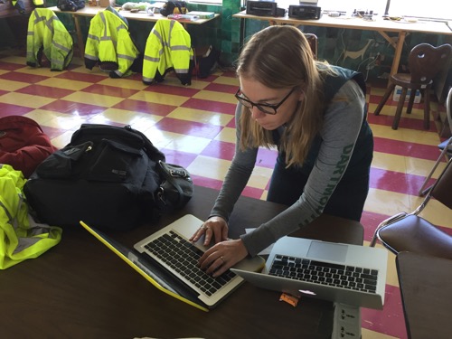
We learned about strapping our carry on bags to the floor, how to use a smoke hood that we would put over our heads if there was smoke in the cabin, how to haul the 120 lbs rafts out if needed, and how to put on the life vests properly. The incomparable Dr. Emily Schaller got us all set up to talk to teachers in classrooms as well.
 Emily sets up my computer to "talk" with her and classrooms around the country.
Seeing Antarctica
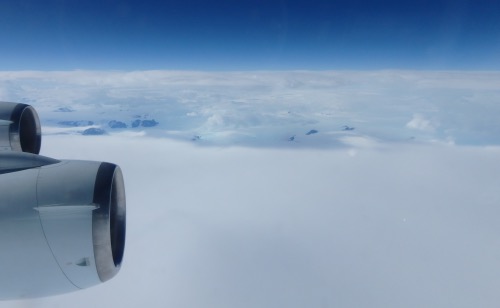
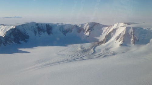
After crossing the Drake Passage (separates Chile from the Antarctic Peninsula), the clouds rolled in. About an hour later, I got my first glimpse of Antarctica, which was as dramatic as I had imagined it would be. Black snow blanketed peaks and ridges appeared out of the clouds, with bright blue glaciers streaming down the sides. Soon enough the clouds recovered our view, and we continued our flight over the white.
 My first view of the Antarctic continent took my breath away.
After about 2.5 hours of flying near 30,000 feet, we approached today's target area. We were working along transect lines studied in the past, and this flight's data will offer the scientists a comparative look at the Filchner Ice Shelf and Recovery Glacier this year, vs previous years. The target area is located northwest of the Shackleton Range and Recovery Glacier. Apparently, in 1957, the first British Expedition to the area had problems losing their vehicles in cravasses on the glacier, and had lots of equipment to recover. 
Flying at 1,400 feet above the ice is a serene and magical experience. Skimming the surprisingly varied surface of the ice for several hours of data collection felt like we were in a glider, able to lazily reach out and touch the surface as though floating on a lake. While the plane will not bank more steeply than 15 degrees, so the GPS antenna on the roof can stay within "sight" of satellites at all times, we do run a back and forth style of transect that requires some tight turns. One turn also included the steep mountainous terrain of the Shackleton Range, requiring us to climb quickly. Flying just over the mountains was thrilling! What a sight!
 The ice is varied in its appearance
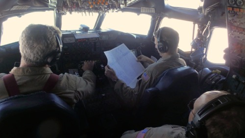
To top off the day, I was invited into the cockpit for our nighttime landing. Hooked into the headset and strapped into the jump seat, I got to watch and listen to the calm, confident pilots as they brought the DC-8 back to Punta Arenas. The precision and coordination of all the elements of speed, direction, and altitude was thrilling and beautiful to watch. With three men running the dials and switches, they worked together seamlessly. What an experience! After 13 hours of flight, we get to call it a day.
 The view of the cockpit and the ice below

Comments