Sea Ice on the Weddell Sea
Today we are traveling to the Weddell Sea to study the extent and thickness of the sea ice.
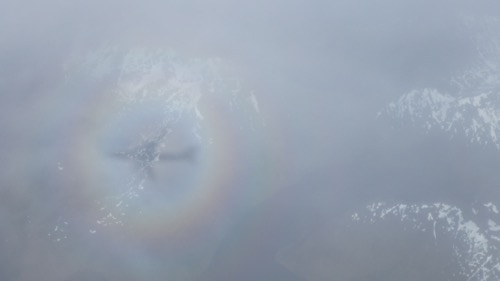 We can see ourselves as a shadow on the ice.
This is of special interest to Nathan Katz, our mission scientist who started studying sea ice with his advisor in graduate school. While their original work was focused on satellite mapping the moons of Jupiter, and their other project was ICESat, the satellites that can map sea ice. ICESat-1 was designed to study the ice thickness and extent of polar ice, but stopped working in 2009. Since then, NASA has used Operation IceBridge instruments, and the high resolution has revealed great detail. With ICESat-2’s scheduled launch in the next year or so, we will continue to collect data from the DC-8, and do more than just "bridge" the gap.
 Project Scientists Dr. Nathan Kurtz.
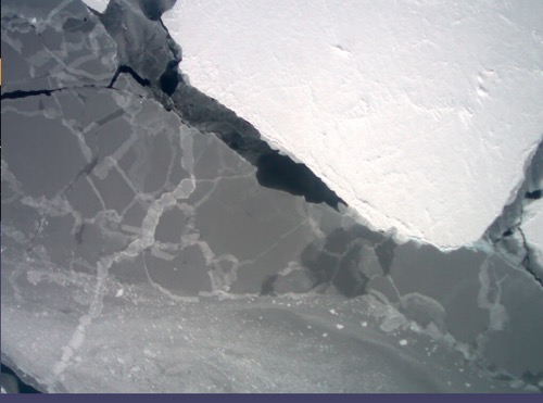 So many kinds of ice.
Ultimately, today's mission should show Nathan and his team the thickness of sea ice and how it's changing in the long term. Nathan expects to see sea ice on the east and west sides of the peninsula today, where the team has two lines of data. He thinks these readings will be representative of other parts of the waters surrounding Antarctica, making this data a very important tool.
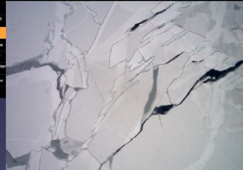 The ice is so beautiful!
Why Are We Flying Here?
This path across the Weddell Sea is the last of the high priority baseline missions this year. Because the DC-8 has so many amazing instruments on board, Nathan hopes that the team can calculate the mass of the sea ice, including some large pressure ridges. The compaction of snow can become very dense and deformed, and high definition imagery will help reveal how much ice volume there is in the pressure ridges and keels (the ridges below the water). These features not only contain very dense ice, but they also dictate how the pieces of ice move under the force of wind and waves. The texture of the sea ice, including the ridges and keels, allow the ice to move and may help explain why we are seeing an increase in sea ice around Antarctica. If the ice is simply moving off shore because it is more susceptible to being moved by wind, that will be good for scientists to know. If anything were to surprise Nathan today, it would be the reappearance of a polynya (open water in the middle of the frozen sea) that was present in the central Weddell Sea decades ago. He suspects that the ice may have opened a small area in that location, but if it opened up a large area, it it would be very surprising.
What Changes Are The Scientists Seeing?
John Sonntag, Airborne Topographic Mapping scientists, shared images with me of ice extent on the western side of peninsula this year vs. last year. The bottom line: ice is much less extensive this year. This can be because of natural variability caused by conditions such as La Nina, or perhaps from stronger westerly winds pushing the ice out and away from the land. We can speculate, he said, but we don't really know. Satellites have only been around for 50 years, so our record is very short. This makes the study of sea ice an area of less certainty than land ice.
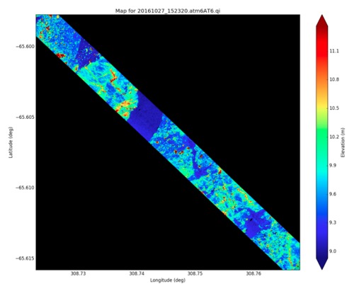 A snippet of data from today's flight.
We were treated to a visual feast today. We saw 1 km long ice shelves and icebergs standing 150-180' tall, lots of seals lounging on ice floes and a mesmerizing tapestry of ice and water. We flew over the 200' high Brunt Ice Shelf, flying at 700', and we startled a flock of penguins who flurried along the ice as we approached. Crossing and recrossing the Weddell Sea, which is about the size of Texas, made me reflect on Captain Earnest Shackleton's journey through this area, the crew’s efforts to get unlocked from the ice and the harsh conditions they endured living out here.
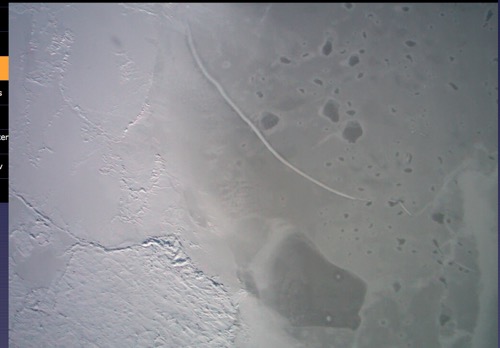 Patterns and shadows.
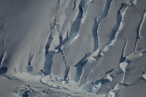 The texture of the ice is astonishing.

Comments