The Dalton Highway, also called the Haul Road, was our location for the day. The Dalton highway is a road that lacks pavement in many spots, and might be in better condition in the spots that lack pavement anyway. It traverses a little more than 400 miles of some of the most remote country in Alaska, from just north of Fairbanks to Deadhorse close to the Arctic Ocean and Prudhoe Bay.
 Map of the Dalton Highway
You may be familiar with the road from the show Ice Road Truckers. One of the most isolated roads in the U.S., the highway's three towns have a combined population of around 60 people. You might not think an 11 hour ride on a road like this would be a good time. I couldn't disagree more!
Just a few highlights from our drive to Field Camp!
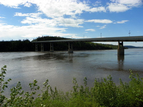 Crossing The Yukon River
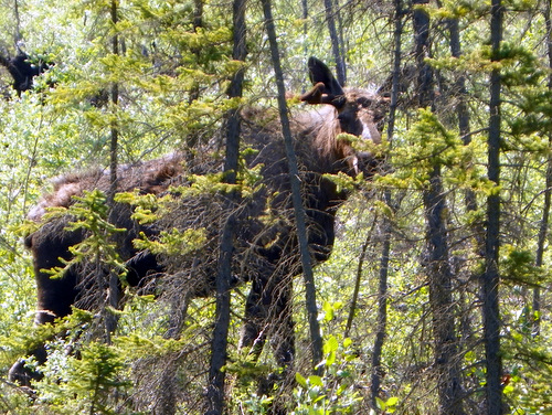 Moose Sighting!
 Moose on the move!
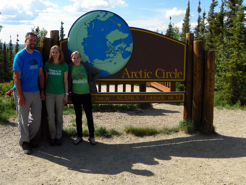 Team Spider Crossing the Arctic Circle: Nick LaFave, Amanda Koltz, Kiki Contreras
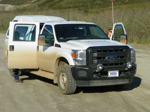 Our Trusty Steed
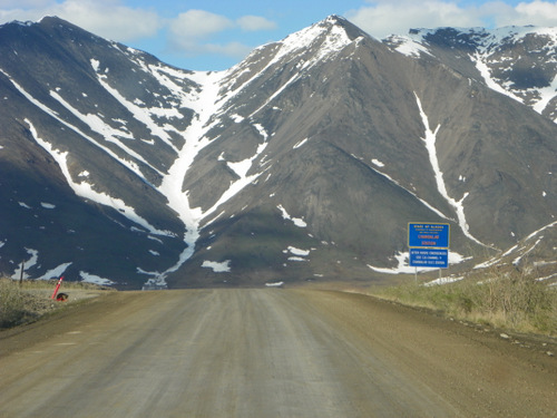 The Brooks Range
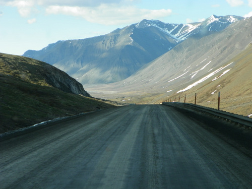 More Brooks Range
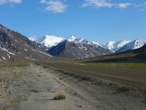 and even more of the Brooks Range
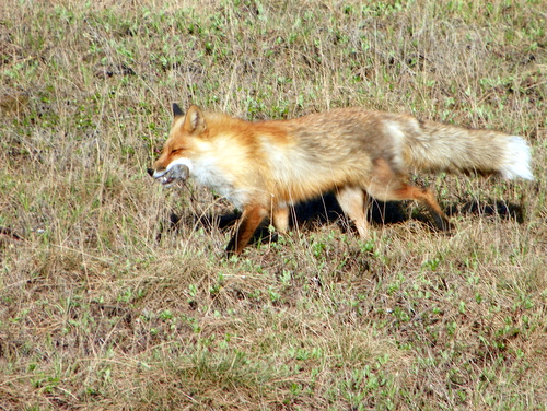 Watching a fox eat a vole!
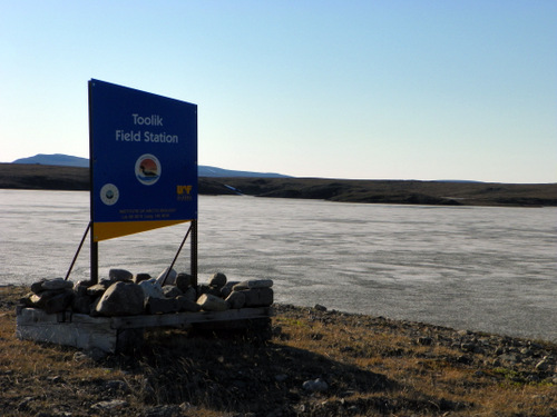 After 11 hours, we finally made it to our home for the summer. Approximately 158 miles north of the Arctic Circle.
I'm still not sure how to describe the drive. To be among some of the most beautiful landscape I've ever seen would be good enough, but this level of beauty went on for hours with virtually no development (except for the Trans Alaska Pipeline, which runs alongside most of the highway). While it sounds cliché, I have to admit that being in such scenery, on such a gigantic scale, in such a remote location, really does make you feel small. I'm not even at camp yet, and I'm already impressed beyond words.
Polar Challenge
We will be living and working at Toolik Field Station on Toolik Lake. What does the word Toolik mean?
Answer to yesterday's Polar Challenge: Whale Skull


Add new comment