Calm Seas and Polar Profiles
Much of my past research experience has been in the Bering Sea, mostly summer and fall, with fine weather. The Southern Ocean is very different and as it is spring we have had some amazing seas and weather. I can't explain it, being at sea, the waves, the wind, EVERYTHING makes me feel alive. I stood on the bridge for hours waiting for the perfect bow spray, even sitting on the helo deck and watching the waves come over the aft section of the vessel just puts a smile on my face.
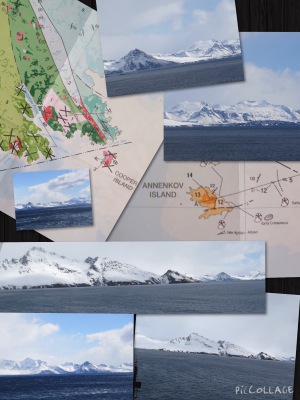 The mountains of South Georgia. Imagine your day starting with such magnificent views.
Today another attempt was made at South Georgia, the team suited up, the seas were calm and not 15 minutes after departure did the wind kick up. Besides the seas, the GPS team is having a hard time finding a landing point to go ashore. Their desire is to place the GPS tower at a location that has nothing blocking the view at least 10 degrees in circumference from the horizon. They really want nothing to obscure the signal, and preferably not too close to water, because with water there is a strong reflection.
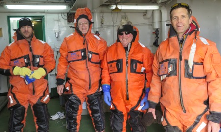 From left to right: Nico, Bob, Ian our chief scientist, and Graham. We call them the GPS team!
Tomorrow is another day, another attempt at South Georgia, and more stunningly beautiful views.
Today I would like to introduce everyone to our chief scientists, geologist, and one of the principal investigators for this research cruise, Ian Dalziel.
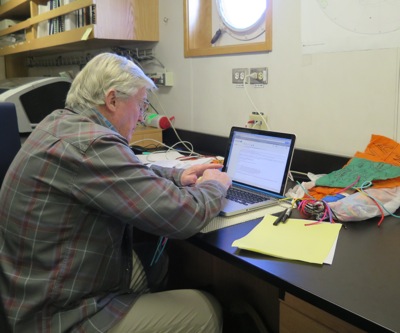 With a busy schedule, chief scientist Ian always finds time to teach as he answers one of my students questions.
Ian was raised in Scotland, still has his brogue, and received his B.S. in geology and Ph.d in the structural study of a deformed granite body that is 830 million years old in the Scottish Highlands.
Having always been interested in travel, the open air, and geology, he has had an amazing career covering the world from 4 billion years to now, and beyond. The sea is the foundation of geology, and Ian believes that going to sea allows scientists to learn more about the fundamentals of the science.
Imagine growing up with tales of Shackleton and Scott, thinking about
the adventures and stories these adventurers could tell, no wonder Ian
became a scientific explorer. Early on in Ian's career he became
intrigued about rocks from Patagonia and Tierra del Fuego How could
rocks from South America be the same as those from continents away?
With an interest stirring, Ian started to look at South Georgia, an
island in the Southern Ocean, not volcanic in nature, identical to those
rocks from South America, yet 2000 miles from their source. Something
was amiss.
In true scientific fashion, by asking questions and collecting data, scientists are satisfied that South Georgia is here due to plate tectonics. This discovery led to even more questions. How did the plates move to allow this one piece of land to be thousands of miles away from where it started, and also three times as high?
Ian has inspired me to realize that questioning never ends and learning
is a continual process. People should always be looking for the
fundamental understanding of things and to further that understanding.
There is a time/space jigsaw puzzle out there and figuring out where the
pieces were placed historically holds answers in the present
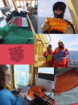 What fun it is to document so many amazing flags from all over the world on our expedition.
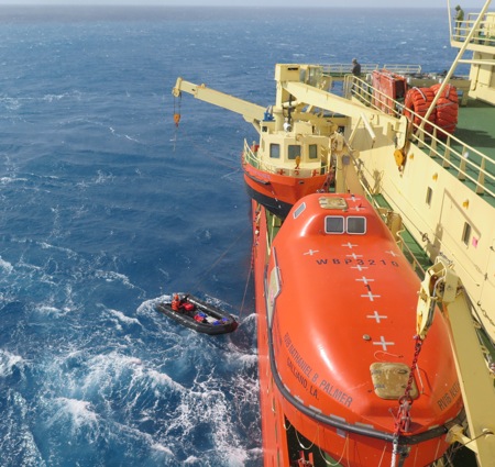 The zodiac is back from South Georgia, trying to get back on board as the seas rise.
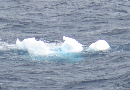 I look at the ice like clouds in the sky. What do you see in this growler? To small to be a Bergie Bit, and too big to be a brash.

Comments